Seafield, Edinburgh
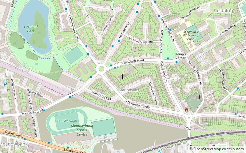
Map

Gallery

Facts and practical information
Seafield is a coastal strip situated on the Firth of Forth between Leith and Portobello in north-east Edinburgh, Scotland. The area is mainly commercial, and has little housing. ()
Coordinates: 55°58'8"N, 3°8'37"W
Address
RestalrigEdinburgh
ContactAdd
Social media
Add
Day trips
Seafield – popular in the area (distance from the attraction)
Nearby attractions include: Easter Road Stadium, South Leith Parish Church, Victoria Swing Bridge, Leith Links.
Frequently Asked Questions (FAQ)
Which popular attractions are close to Seafield?
Nearby attractions include Restalrig, Edinburgh (14 min walk), Ss Ninian and Triduana's Church, Edinburgh (21 min walk), Leith Links, Edinburgh (21 min walk), Lochend Castle, Edinburgh (22 min walk).
How to get to Seafield by public transport?
The nearest stations to Seafield:
Bus
Bus
- Seafield Street • Lines: 1 (2 min walk)
- Restalrig Drive • Lines: 21, 49 (12 min walk)


