Lochend Park, Edinburgh
Map
Map

Facts and practical information
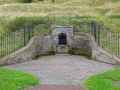
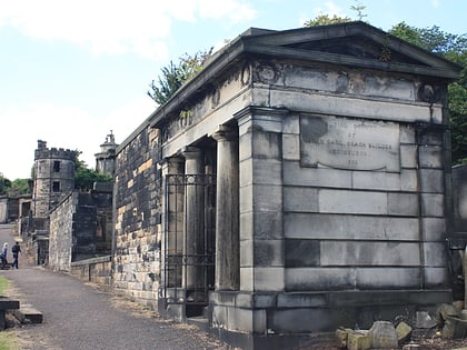
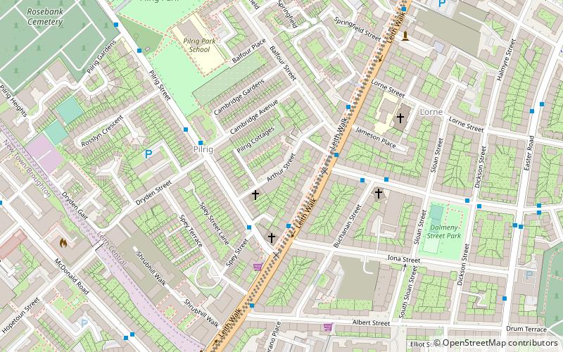
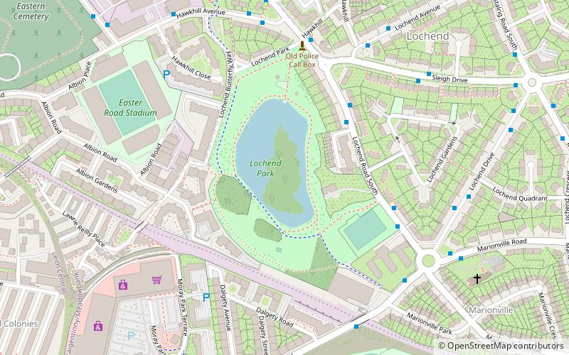
Lochend Park is a public park in Edinburgh, Scotland. It is situated in the Lochend / Restalrig area, next to Lochend Castle and near Meadowbank Stadium. The loch with its wide range of waterfowl is the main attraction, but there are also historical buildings, a children's play area, and sports areas. The park was awarded a Green Flag in 2012 in recognition of it being a quality greenspace. Within the park there is a 16th-century doocot which is Category B listed. ()
Elevation: 92 ft a.s.l.Coordinates: 55°57'38"N, 3°9'38"W
Address
LochendEdinburgh
ContactAdd
Social media
Add
Day trips
Lochend Park – popular in the area (distance from the attraction)
Nearby attractions include: Palace of Holyroodhouse, Easter Road Stadium, Queen's Gallery, The Scottish Parliament.
Frequently Asked Questions (FAQ)
Which popular attractions are close to Lochend Park?
Nearby attractions include Lochend Castle, Edinburgh (2 min walk), The Salt Cave, Edinburgh (6 min walk), Easter Road Stadium, Edinburgh (6 min walk), Ss Ninian and Triduana's Church, Edinburgh (7 min walk).
How to get to Lochend Park by public transport?
The nearest stations to Lochend Park:
Bus
Train
Bus
- Lochend Castle Barns • Lines: 49 (3 min walk)
Train
- Edinburgh Waverley (34 min walk)


