Moray Estate, Edinburgh
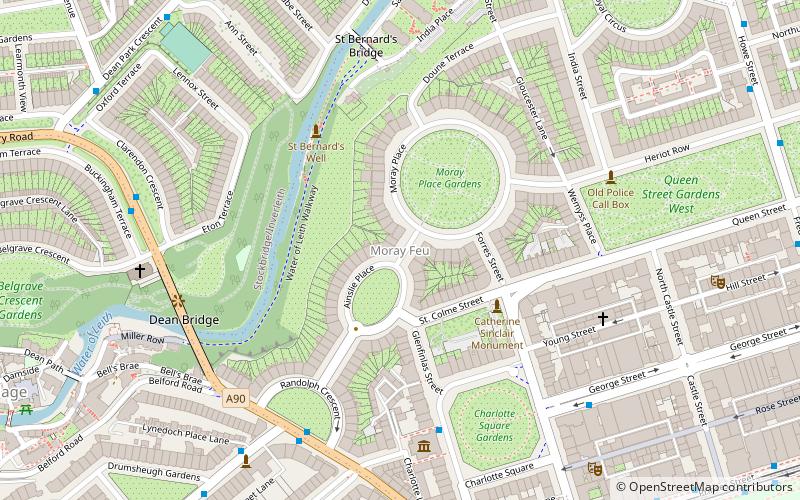
Map
Facts and practical information
The Moray Estate in Edinburgh was an exclusive early 19th century building venture attaching the west side of Edinburgh's New Town. ()
Coordinates: 55°57'14"N, 3°12'35"W
Address
New TownEdinburgh
ContactAdd
Social media
Add
Day trips
Moray Estate – popular in the area (distance from the attraction)
Nearby attractions include: Princes Street, Edinburgh Castle, George Street, Princes Street Gardens.
Frequently Asked Questions (FAQ)
Which popular attractions are close to Moray Estate?
Nearby attractions include Georgian House, Edinburgh (3 min walk), St Bernard's Well, Edinburgh (4 min walk), Dean Gardens, Edinburgh (4 min walk), West Register House, Edinburgh (4 min walk).
How to get to Moray Estate by public transport?
The nearest stations to Moray Estate:
Bus
Tram
Train
Bus
- Drumsheugh Place • Lines: 113, 19, 36, 37, 41, 43, 47 (5 min walk)
- Dean Bridge • Lines: 37, 41, 43, 47 (6 min walk)
Tram
- West End • Lines: Edinburgh Trams Eastbound, Edinburgh Trams Westbound (10 min walk)
- Princes Street • Lines: Edinburgh Trams Eastbound, Edinburgh Trams Westbound (13 min walk)
Train
- Haymarket (18 min walk)
- Edinburgh Waverley (20 min walk)
