South Turton, Bolton

Map
Facts and practical information
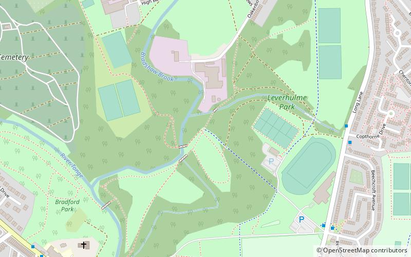
South Turton is an unparished area of the Metropolitan Borough of Bolton, in Greater Manchester, England. Historically the southern part of Turton in Lancashire, it lies on the southern slopes of the West Pennine Moors, and has a population of 25,067. ()
Coordinates: 53°36'22"N, 2°24'0"W
Address
Bolton
ContactAdd
Social media
Add
Getting there by public transportation
Public transportation stops near this location
- Train
 Train
Train
- Calculate routeBromley Cross 19 min walk
- Calculate routeHall i' th' Wood 21 min walk
Day trips


Frequently Asked Questions (FAQ)
Which popular attractions are close to South Turton?
Nearby attractions include St Maxentius' Church, Bolton (2 min walk), Hall i' th' Wood, Bolton (23 min walk).
How to get to South Turton by public transport?
The nearest stations to South Turton:
Train
Train
- Bromley Cross (19 min walk)
- Hall i' th' Wood (21 min walk)