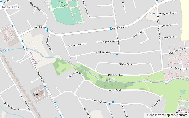
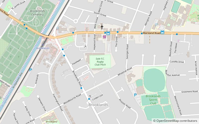
Brooklands, Sale
Map

Map

Facts and practical information
Brooklands is an area of Greater Manchester, England, 5.7 miles southwest of Manchester city centre. It had a population of 24,796 at the 2011 census. ()
Address
BrooklandsSale
ContactAdd
Social media
Add
Day trips
Brooklands – popular in the area (distance from the attraction)
Nearby attractions include: Walkden Gardens, St John the Divine, Timperley, Brook Lane Garden Nursery.
Frequently Asked Questions (FAQ)
Which popular attractions are close to Brooklands?
Nearby attractions include St John the Divine, Sale (7 min walk), Walkden Gardens, Sale (13 min walk), Walton Park, Sale (20 min walk).
How to get to Brooklands by public transport?
The nearest stations to Brooklands:
Bus
Tram
Bus
- Woodhouse Lane East/Shops • Lines: 20 (12 min walk)
- Heyes Lane/Conservative Club • Lines: 20 (13 min walk)
Tram
- Brooklands • Lines: Altr, Bury, Picc (17 min walk)
- Wythenshawe Park • Lines: Airp, Dean, Vict (20 min walk)


