Scaling Dam Reservoir, North York Moors
Map

Map

Facts and practical information
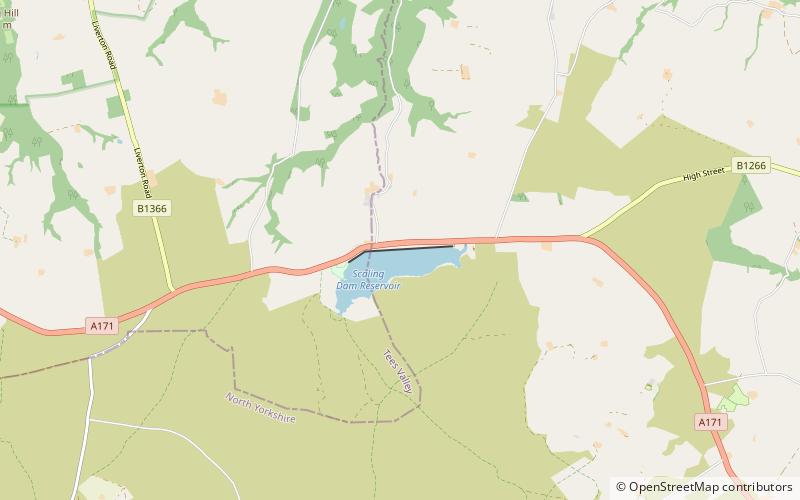
Scaling Dam Reservoir is a freshwater man-made lake on the edge of the A171 road in North Yorkshire, England. The reservoir is near to the hamlet of Scaling Dam from where it derives its name, and was built in 1958. ()
Coordinates: 54°30'18"N, 0°50'51"W
Address
North York Moors
ContactAdd
Social media
Add
Day trips
Scaling Dam Reservoir – popular in the area (distance from the attraction)
Nearby attractions include: Saltburn Miniature Railway, Hob Holes, Esk Valley Walk, Roxby Hall.


