Esk Valley Walk, North York Moors

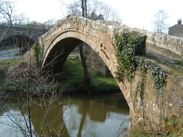
Gallery (2)
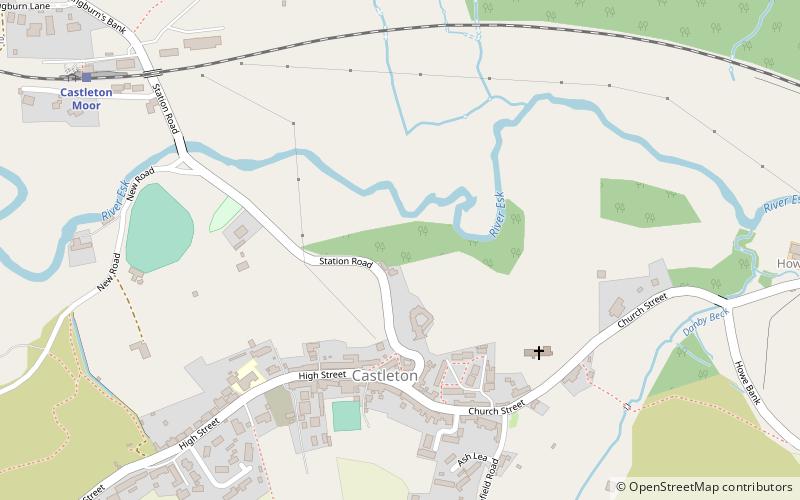
Map
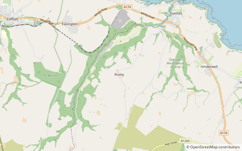
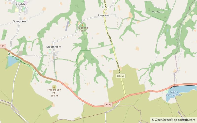
Map
Gallery
Facts and practical information
The Esk Valley Walk is a long distance footpath in North Yorkshire, England. The route first follows a loop on the North York Moors to the south of Castleton, then shadows the River Esk on its journey to the North Sea. Waymarking uses the symbol of a leaping salmon, with yellow arrows denoting footpaths and blue arrows bridleways. ()
Length: 35 miCoordinates: 54°27'54"N, 0°56'24"W
Address
North York Moors
ContactAdd
Social media
Add
Getting there by public transportation
Public transportation stops near this location
- Train
 Train
Train
- Calculate routeCastleton Moor 8 min walk
- Calculate routeDanby 30 min walk
Day trips


Frequently Asked Questions (FAQ)
How to get to Esk Valley Walk by public transport?
The nearest stations to Esk Valley Walk:
Train
Train
- Castleton Moor (8 min walk)
- Danby (30 min walk)