Provanmill, Glasgow
Map

Map

Facts and practical information
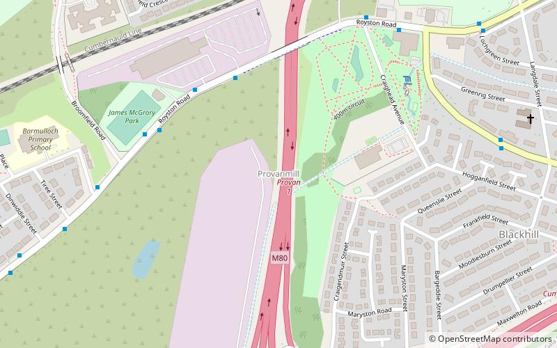
Provanmill is a district in the Scottish city of Glasgow. It lies to the north east of the city centre. Since the 1950s however, the area has become a major area of deprivation, with chronic housing and drug-related crime problems, although towards the end of this decade the image of Provanmill and its surrounding areas is improving. Blackhill, one of the most notorious housing estates in the area, was demolished in 1990 to make way for the M80 Stepps bypass. ()
Coordinates: 55°52'33"N, 4°11'55"W
Address
GermistonGlasgow
ContactAdd
Social media
Add
Day trips
Provanmill – popular in the area (distance from the attraction)
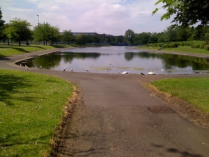
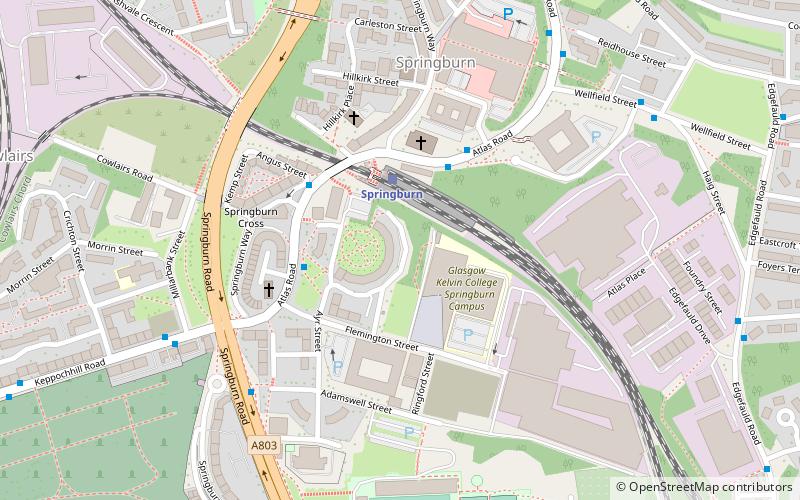
Nearby attractions include: Hogganfield, Springburn, Alexandra Park, Springburn Museum.
Frequently Asked Questions (FAQ)
Which popular attractions are close to Provanmill?
Nearby attractions include Riddrie, Glasgow (14 min walk), Barmulloch, Glasgow (16 min walk), Blochairn, Glasgow (18 min walk), Alexandra Park, Glasgow (19 min walk).
How to get to Provanmill by public transport?
The nearest stations to Provanmill:
Bus
Train
Bus
- Cumbernauld Road, Riddrie Library • Lines: 38, 38A (14 min walk)
- Riddrie, Cumbernauld Road/ Smithycroft Road • Lines: 38, 38A (16 min walk)
Train
- Barnhill (25 min walk)
- Alexandra Parade (26 min walk)


