Rafters, Manchester
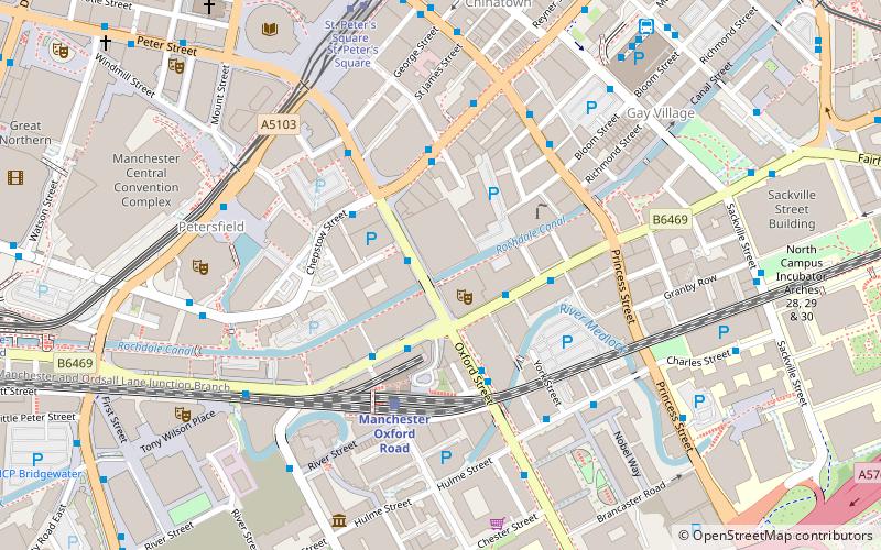
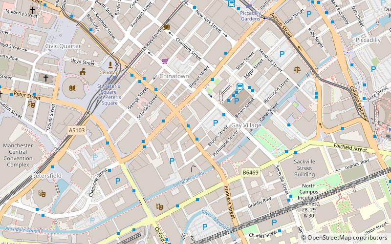
Map
Facts and practical information
Rafters, later known as Jilly's, was a nightclub located in St. James Buildings, Oxford Street, Manchester, England. Some well-known bands played concerts at Rafters in the 1970s and 1980s. ()
Coordinates: 53°28'31"N, 2°14'29"W
Address
City CentreManchester
ContactAdd
Social media
Add
Getting there by public transportation
Public transportation stops near this location
- Bus
- Tram
- Train
 Bus
Bus
- Calculate routeManchester City Centre, Oxford Street / near Gt Bridgewater Street 1 min walk
- Calculate routeWhitworth St West/Oxford Rd Stn 2 min walk
- Calculate routeChepstow Street/Oxford Street 3 min walk
- Calculate routeManchester City Centre, Whitworth Street / India House 3 min walk
- Calculate routeManchester Oxford Road 3 min walk
- Calculate routeDeansgate 11 min walk
- Calculate routeManchester Piccadilly 13 min walk
- Calculate routeSalford Central 20 min walk
- Calculate routeSt. Peter's Square 6 min walk
- Calculate routeDeansgate-Castlefield 10 min walk
- Calculate routePiccadilly Gardens 10 min walk
Maps MetrolinkMaps
 Metrolink / Rail
MetrolinkMapsMetrolink / RailDay trips


Frequently Asked Questions (FAQ)
Which popular attractions are close to Rafters?
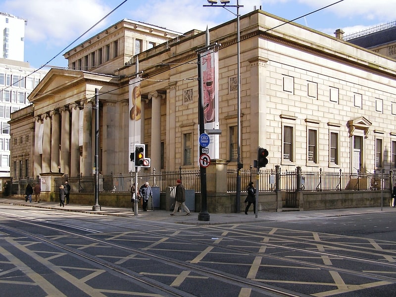
Nearby attractions include Palace Theatre, Manchester (1 min walk), Tootal, Manchester (1 min walk), Cornerhouse, Manchester (2 min walk), Canada House, Manchester (3 min walk).
How to get to Rafters by public transport?
The nearest stations to Rafters:
Bus
Train
Tram
Bus
- Manchester City Centre, Oxford Street / near Gt Bridgewater Street • Lines: 191, 197 (1 min walk)
- Whitworth St West/Oxford Rd Stn • Lines: 2, 2 (peak) (2 min walk)
Train
- Manchester Oxford Road (3 min walk)
- Deansgate (11 min walk)
Tram
- St. Peter's Square • Lines: Airp, Altr, Asht, Bury, Eccl, EDid, Mcuk, Picc, Roch, Shaw, Vict (6 min walk)
- Deansgate-Castlefield • Lines: Airp, Altr, Asht, Bury, Dean, Eccl, EDid, Mcuk, Picc, Roch, Shaw, Vict (10 min walk)