Ardington and Lockinge, Wantage
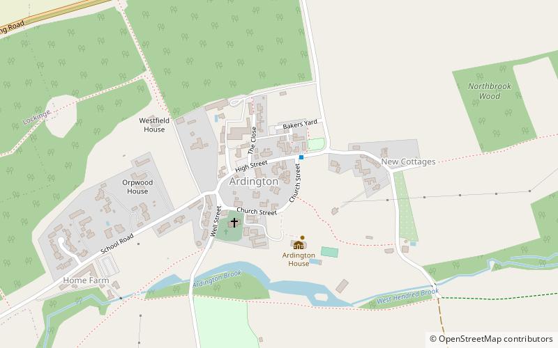
Map
Facts and practical information
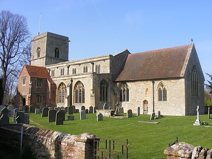
Ardington and Lockinge are two civil parishes in the Vale of White Horse district, centred about 2 miles east of Wantage, Oxfordshire, that share a single parish council. The two parishes were part of Berkshire until 1974 when they were transferred to Oxfordshire. ()
Coordinates: 51°35'35"N, 1°22'37"W
Address
Wantage
ContactAdd
Social media
Add
Day trips
Ardington and Lockinge – popular in the area (distance from the attraction)
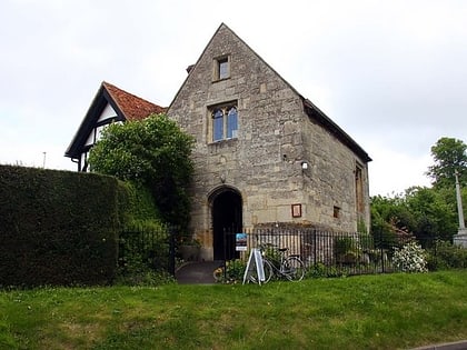
Nearby attractions include: Vale and Downland Museum, Church of St Peter and St Paul, All Saints' Church, Champs Chapel Museum of East Hendred.


