Bevisbury, Andover

Map
Facts and practical information
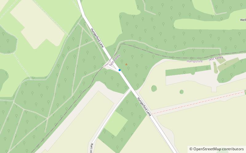
Bevisbury is the site of a former Iron Age plateau fort of a single bank and ditch construction. The site is now largely destroyed and overgrown and the southern ramparts are the best preserved. There are several pits that have been cut into and around the site which were probably quarries, and a private house lies within the north east corner. ()
Coordinates: 51°17'8"N, 1°32'4"W
Address
Andover
ContactAdd
Social media
Add
Day trips
Bevisbury – popular in the area (distance from the attraction)
Nearby attractions include: Wayfarer's Walk, Test Way, Andover Guildhall, Crofton Beam Engines.


