South Weald Camp, Brentwood
Map

Gallery

Facts and practical information
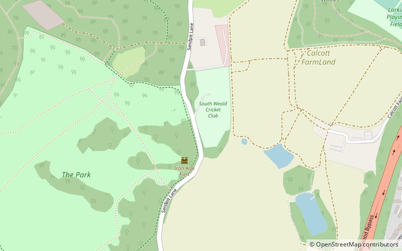
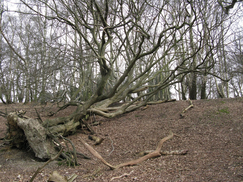
South Weald Camp was a hillfort based in South Weald, Brentwood, Essex, England. Roughly circular in plan, the fort covered 2.8 hectares, with a suggested construction date in the late Iron Age, from the 1st century BC to the 1st century AD. The location is associated in this period with the Catuvellauni and the Trinovantes. ()
Coordinates: 51°37'42"N, 0°16'46"E
Address
Brentwood
ContactAdd
Social media
Add
Day trips
South Weald Camp – popular in the area (distance from the attraction)
Nearby attractions include: Brentwood Cathedral, Brentwood Town Hall, Weald Country Park, South Weald.
Frequently Asked Questions (FAQ)
Which popular attractions are close to South Weald Camp?
Nearby attractions include Weald Country Park, Brentwood (12 min walk), South Weald, Brentwood (15 min walk).
How to get to South Weald Camp by public transport?
The nearest stations to South Weald Camp:
Bus
Train
Bus
- Porters Close • Lines: 71, 71C, 72 (11 min walk)
- Kensington Road • Lines: 21, 71, 71C, 72 (12 min walk)
Train
- Brentwood (35 min walk)


