56 Artillery Lane, London
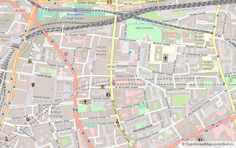
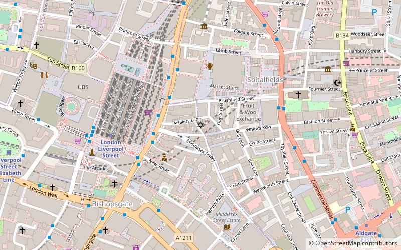
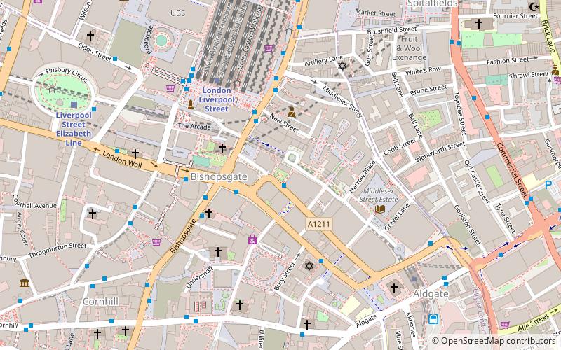
Map
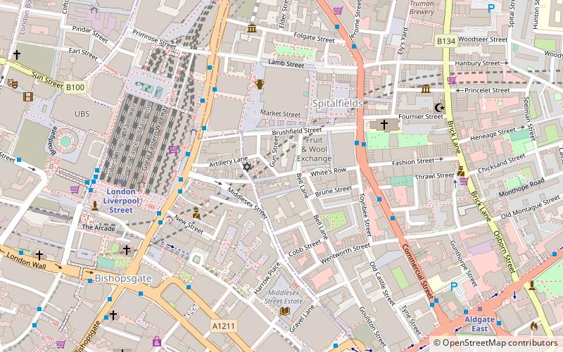
Map

Facts and practical information
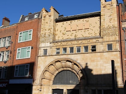
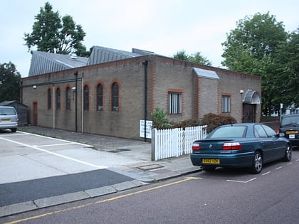
56 Artillery Lane is an 18th-century Grade I listed building in Spitalfields, London. The building is situated in the Artillery Passage, and was merged with the now Grade II listed building 58 Artillery Lane after the Second World War; their combined shop front is one of the oldest in London, and the combined building is used by Raven Row as a free art exhibition centre. ()
Coordinates: 51°31'5"N, 0°4'37"W
Address
Tower Hamlets (Spitalfields and Banglatown)London
ContactAdd
Social media
Add
Day trips
56 Artillery Lane – popular in the area (distance from the attraction)
Nearby attractions include: Whitechapel Gallery, 30 St Mary Axe, Old Spitalfields Market, Baltic Exchange.
Frequently Asked Questions (FAQ)
Which popular attractions are close to 56 Artillery Lane?
Nearby attractions include Raven Row, London (1 min walk), Christ Church, London (1 min walk), Chapter Spitalfields, London (2 min walk), Sandys Row Synagogue, London (2 min walk).
How to get to 56 Artillery Lane by public transport?
The nearest stations to 56 Artillery Lane:
Bus
Metro
Train
Light rail
Ferry
Bus
- Brushfield Street • Lines: 242 (3 min walk)
- Lolesworth Close • Lines: 242 (4 min walk)
Metro
- Liverpool Street • Lines: Central, Circle, Hammersmith & City, Metropolitan (7 min walk)
- Aldgate • Lines: Circle, Metropolitan (7 min walk)
Train
- Shoreditch High Street (10 min walk)
- London Fenchurch Street (13 min walk)
Light rail
- Tower Gateway Platform 1 • Lines: Tg-B (14 min walk)
- Bank Platform 9 • Lines: B-L, B-Wa (17 min walk)
Ferry
- Tower Millennium Pier • Lines: Rb1, Rb1X, Rb2, Red Tour (20 min walk)
- London Bridge City Pier • Lines: Rb1, Rb1X, Rb2, Rb6 (22 min walk)

 Tube
Tube