Bixley medieval settlement, Norwich

Gallery (1)
Map
Map
Facts and practical information
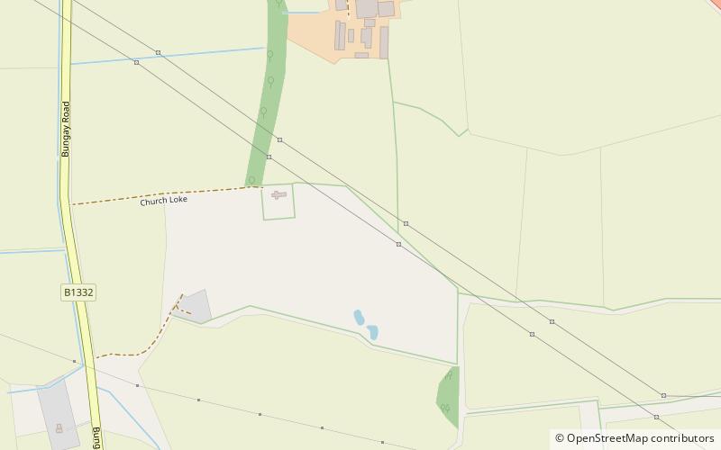
Bixley medieval settlement is a deserted medieval village in Norfolk, England, about 2 miles south-east of Norwich. It is a Scheduled Monument. ()
Coordinates: 52°35'42"N, 1°20'7"E
Address
Norwich
ContactAdd
Social media
Add
Getting there by public transportation
Public transportation stops near this location
- Bus
 Bus
Bus
- Calculate routeFeathers, opp 19 min walk
Day trips


Frequently Asked Questions (FAQ)
How to get to Bixley medieval settlement by public transport?
The nearest stations to Bixley medieval settlement:
Bus
Bus
- Feathers, opp • Lines: X2 (19 min walk)