Ffos-y-fran Land Reclamation Scheme, Merthyr Tydfil
Facts and practical information
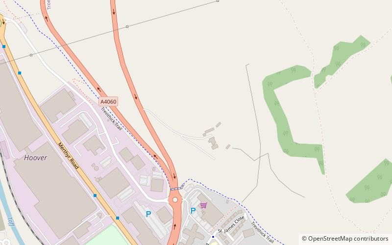
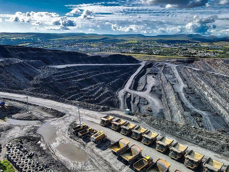
The Ffos-y-fran Land Reclamation Scheme is a major opencast coaling operation to the north-east of Merthyr Tydfil in South Wales. The contracted excavator/reclaiming company is Merthyr Ltd, which is owned by Gwent Investments Limited, a privately-owned family business based in South Wales. The scheme development is the last part of the East Merthyr Reclamation scheme, and will extract 10 million tonnes of coal over 15 years, the revenues from which will redevelop the current former industrial workings into residential and recreational use. ()
Merthyr Tydfil
Ffos-y-fran Land Reclamation Scheme – popular in the area (distance from the attraction)
Nearby attractions include: Old Iron Bridge, Merthyr Tydfil Town Hall, Mynydd Cilfach-yr-encil, St Tydfil Shopping Centre.
Frequently Asked Questions (FAQ)
How to get to Ffos-y-fran Land Reclamation Scheme by public transport?
Train
- Pentre-bach (10 min walk)
- Merthyr Tydfil (32 min walk)
Bus
- Merthyr Bus Station Stand 13 • Lines: Me27-2, Me27-4 (34 min walk)
- Merthyr Tydfil Bus Station (34 min walk)

