Albion United Reformed Church, Nottingham
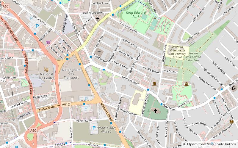
Map

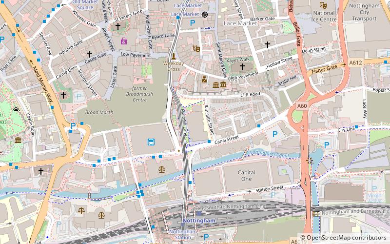
Map

Facts and practical information
Albion Congregational Church was built on Sneinton Road in Nottingham in 1856. It is a Grade II listed building. ()
Coordinates: 52°57'9"N, 1°8'3"W
Address
St. Ann'sNottingham
ContactAdd
Social media
Add
Day trips
Albion United Reformed Church – popular in the area (distance from the attraction)
Nearby attractions include: Pryzm, National Ice Centre, Green's Mill, St Mary's Church.
Frequently Asked Questions (FAQ)
Which popular attractions are close to Albion United Reformed Church?
Nearby attractions include Albion Congregational Church, Nottingham (1 min walk), St Alban's Church, Nottingham (3 min walk), William Booth Birthplace Museum, Nottingham (3 min walk), Trade Gallery, Nottingham (3 min walk).
How to get to Albion United Reformed Church by public transport?
The nearest stations to Albion United Reformed Church:
Bus
Tram
Train
Bus
- Eyre Street • Lines: 43, 44, 44A, N27, S10 (3 min walk)
- Windmill Lane • Lines: 43 (4 min walk)
Tram
- Lace Market • Lines: 1, 2 (12 min walk)
- Nottingham Station • Lines: 1, 2 (16 min walk)
Train
- Nottingham (15 min walk)


