Bristol Temple Quarter Enterprise Zone, Bristol

Map
Facts and practical information
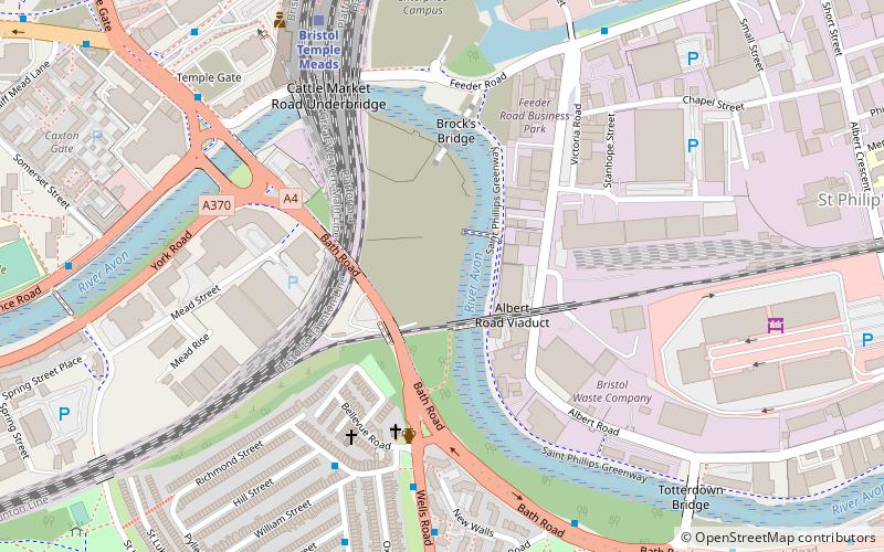
Bristol Temple Quarter Enterprise Zone is an enterprise zone in Bristol, England, focused on creative, high-tech and low-carbon industries. Covering an area of 70 hectares, it is based around Bristol Temple Meads railway station, which is being redeveloped by Network Rail. It also contains the area around the existing Temple Quay development, and the Silverthorne Lane and Avon Riverside areas. It includes the site of the planned Bristol Arena, and the site of the University of Bristol's planned Temple Quarter Campus. ()
Coordinates: 51°26'46"N, 2°34'41"W
Address
Windmill HillBristol
ContactAdd
Social media
Add
Day trips
Bristol Temple Quarter Enterprise Zone – popular in the area (distance from the attraction)
Nearby attractions include: Redcliffe Caves, The Old Duke, St Mary Redcliffe, Temple Church.
Frequently Asked Questions (FAQ)
Which popular attractions are close to Bristol Temple Quarter Enterprise Zone?
Nearby attractions include Severn Beach line, Bristol (7 min walk), Bristol Jamia Mosque, Bristol (8 min walk), Exploratory Museum, Bristol (8 min walk), Totterdown Methodist Church, Bristol (9 min walk).
How to get to Bristol Temple Quarter Enterprise Zone by public transport?
The nearest stations to Bristol Temple Quarter Enterprise Zone:
Bus
Train
Ferry
Bus
- Bellveue Road • Lines: 92 (5 min walk)
- Bellevue Road • Lines: 92 (6 min walk)
Train
- Bristol Temple Meads (7 min walk)
- Bedminster (20 min walk)
Ferry
- Prince Street Bridge • Lines: Hotwells-Centre (22 min walk)
- Millennium Square • Lines: Hotwells-Centre (24 min walk)


