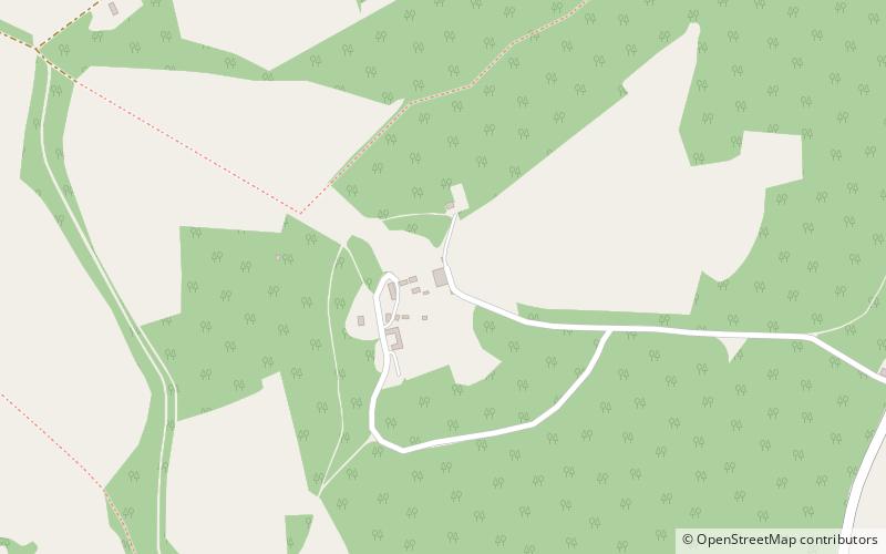
Watlington Park, Chiltern Hills

Map
Facts and practical information
Watlington Park is an English country house with its surrounding grounds of approximately 500 acres, located atop an escarpment in the Chiltern Hills, approximately 0.5 miles southwest of Christmas Common and 1.4 miles southeast of Watlington, Oxfordshire. ()
Elevation: 774 ft a.s.l.Coordinates: 51°37'38"N, 0°58'52"W
Address
Chiltern Hills
ContactAdd
Social media
Add
Day trips
Watlington Park – popular in the area (distance from the attraction)
Nearby attractions include: Ewelme Watercress Beds, Stonor Park, Aston Rowant Cutting, Cobstone Windmill.


