Tytherington, Macclesfield

Gallery (1)
Map
Map
Facts and practical information
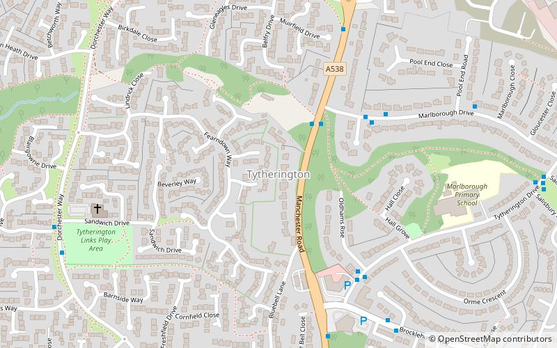
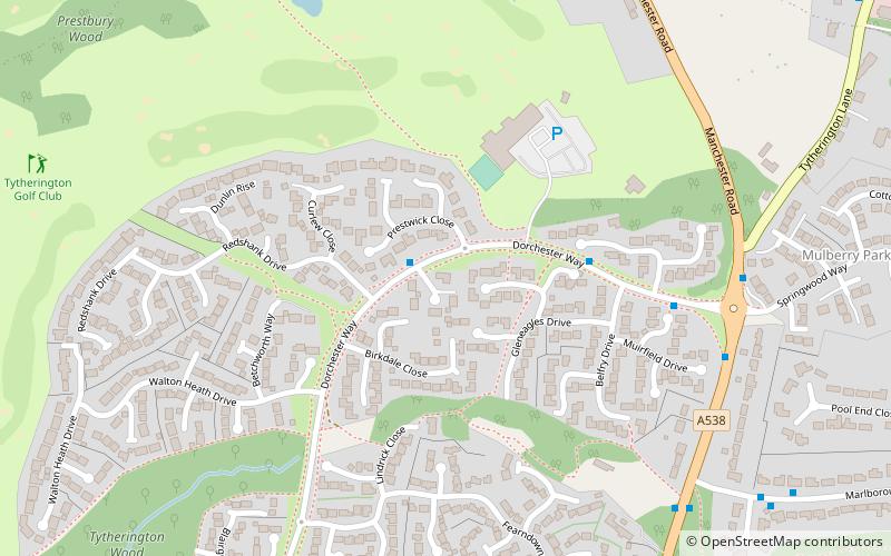
Tytherington is an area in the north of Macclesfield in Cheshire, England. It comprises a large residential housing estate and has a church, Tytherington Family Worship Church, an academy school, Tytherington School and a golf club. Tytherington Wood forms part of Macclesfield Riverside Park. Tytherington Business Park lies to the north-east. ()
Coordinates: 53°16'38"N, 2°7'45"W
Address
Macclesfield
ContactAdd
Social media
Add
Getting there by public transportation
Public transportation stops near this location
- Bus
- Train
 Bus
Bus
- Calculate routeTytherington, Manchester Road / opposite Marlborough Drive 2 min walk
- Calculate routeTytherington, Dorchester Way / opposite Carnoustie Drive 6 min walk
- Calculate routePrestbury 33 min walk
Day trips


Frequently Asked Questions (FAQ)
Which popular attractions are close to Tytherington?
Nearby attractions include Tytherington Old Hall, Macclesfield (8 min walk), Macclesfield Cemetery, Macclesfield (22 min walk).
How to get to Tytherington by public transport?
The nearest stations to Tytherington:
Bus
Train
Bus
- Tytherington, Manchester Road / opposite Marlborough Drive • Lines: 391 (2 min walk)
- Tytherington, Dorchester Way / opposite Carnoustie Drive • Lines: 392 (6 min walk)
Train
- Prestbury (33 min walk)