St Helen's Wood, Hastings
Map

Map

Facts and practical information
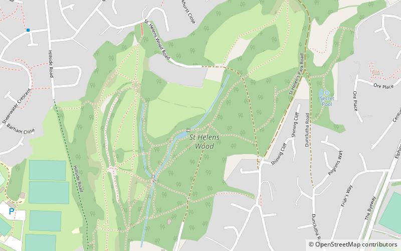
St Helen's Wood is a 34.6-hectare Local Nature Reserve in Hastings in East Sussex. It is owned and managed by the St Helens Park Preservation Society. ()
Elevation: 223 ft a.s.l.Coordinates: 50°52'42"N, 0°34'44"E
Address
Hastings
ContactAdd
Social media
Add
Day trips
St Helen's Wood – popular in the area (distance from the attraction)
Nearby attractions include: Horntye Park Sports Complex, St Matthew's Church, Old Roar Gill, Alexandra Park.
Frequently Asked Questions (FAQ)
Which popular attractions are close to St Helen's Wood?
Nearby attractions include Hastings Cemetery, Hastings (16 min walk), Old Roar Gill, Hastings (18 min walk).
How to get to St Helen's Wood by public transport?
The nearest stations to St Helen's Wood:
Bus
Train
Bus
- St Helens, adj Helenswood School Grounds • Lines: 101 (20 min walk)
Train
- Ore (25 min walk)


