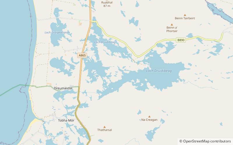
South Uist Machair and Lochs, South Uist
Map

Map

Facts and practical information
The South Uist Machair and Lochs is a protected wetland area on the west coast of South Uist in the Outer Hebrides of Scotland. A total of 5,019 hectares contains blanket bog, oligotrophic lochs, wet and dry machair, fresh and saltwater marsh, coastal dunes and sandy and rocky shores. It includes the estuary waters of the Howmore River, as well as Loch Bi and Loch Druidibeg. It has been protected as a Ramsar Site since 1976. ()
Area: 19.38 mi²Coordinates: 57°18'58"N, 7°20'54"W
Address
South Uist
ContactAdd
Social media
Add
Day trips
South Uist Machair and Lochs – popular in the area (distance from the attraction)
Nearby attractions include: Our Lady of the Isles, Ormacleit Castle, Dun Vulan, Hecla.


