St Philip's Marsh, Bristol

Facts and practical information
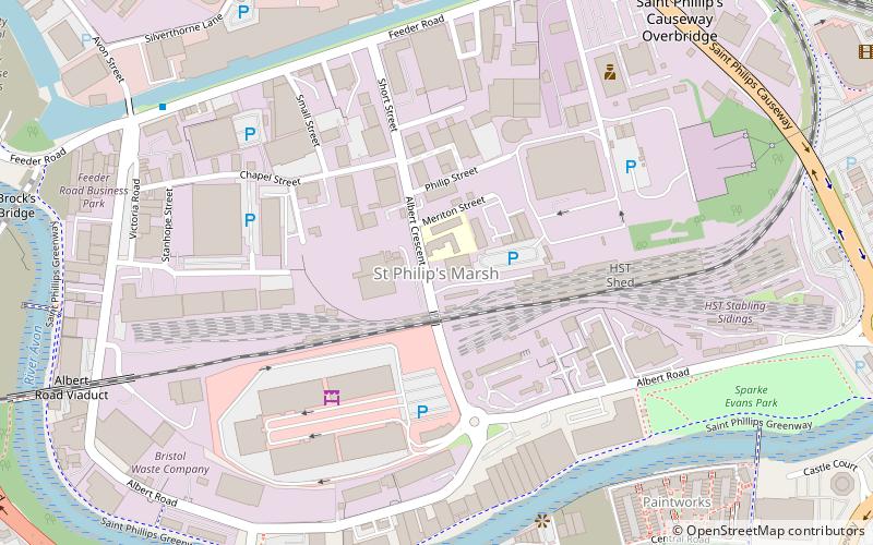
St Philip's Marsh is an industrial inner suburb of Bristol, England. It is bounded by River Avon and Harbour feeder canal making it an almost island area, unlike the other two areas surrounded by water, it was historically part of Gloucestershire and is part of North Bristol. The site is home of Avonmeads Retail Park, a large retail and leisure park with Showcase Cinemas and a Hollywood Bowl ten-pin bowling centre among its tenants. It was extensively redeveloped in the 15 years to 2007. A bypass runs over the River Avon creating a major transport link from the A4 road in south east Bristol, to junction 3 of the M32 motorway near the city centre. In past years St Philip's marsh was a housing development for the workers of Bristol's market area. One of St Philip's' more influential residents during the early 1900s was George Townsend, a major property developer of the South Bristol area. His family home situated in the St Anne's area of Bristol is still standing today and a reminder of Bristol's history. Today there is very little housing in the area making it almost deserted at night, and other than the retail area it does contain one shop, pub, takeaway and Sparke Evans Park. ()
Lawrence HillBristol
- Bus
- Train
- Ferry
 Bus
Bus
- Calculate routeBellveue Road 12 min walk
- Calculate routeBellevue Road 12 min walk
- Calculate routeHighgrove Street 13 min walk
- Calculate routeBrecknock Road 14 min walk
- Calculate routeBristol Temple Meads 13 min walk
- Calculate routeLawrence Hill 22 min walk
- Calculate routeBedminster 29 min walk
- Calculate routePrince Street Bridge 31 min walk


Frequently Asked Questions (FAQ)
Which popular attractions are close to St Philip's Marsh?
How to get to St Philip's Marsh by public transport?
Bus
- Bellveue Road • Lines: 92 (12 min walk)
- Bellevue Road • Lines: 92 (12 min walk)
Train
- Bristol Temple Meads (13 min walk)
- Lawrence Hill (22 min walk)
Ferry
- Prince Street Bridge • Lines: Hotwells-Centre (31 min walk)