Thames and Medway Canal, Strood
Map
Facts and practical information
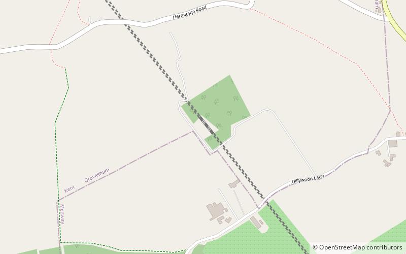
The Thames and Medway Canal is a disused canal in Kent, south east England, also known as the Gravesend and Rochester Canal. It was originally some 11 km long and cut across the neck of the Hoo peninsula, linking the River Thames at Gravesend with the River Medway at Strood. The canal was first mooted in 1778 as a shortcut for military craft from Deptford and Woolwich Dockyards on the Thames to Chatham Dockyard on the Medway, avoiding the 74 km journey round the peninsula and through the Thames estuary. The canal was also intended to take commercial traffic between the two rivers. ()
Coordinates: 51°24'54"N, 0°28'53"E
Address
HighamStrood
ContactAdd
Social media
Add
Getting there by public transportation
Public transportation stops near this location
- Bus
- Train
 Bus
Bus
- Calculate routeDillywood Lane 17 min walk
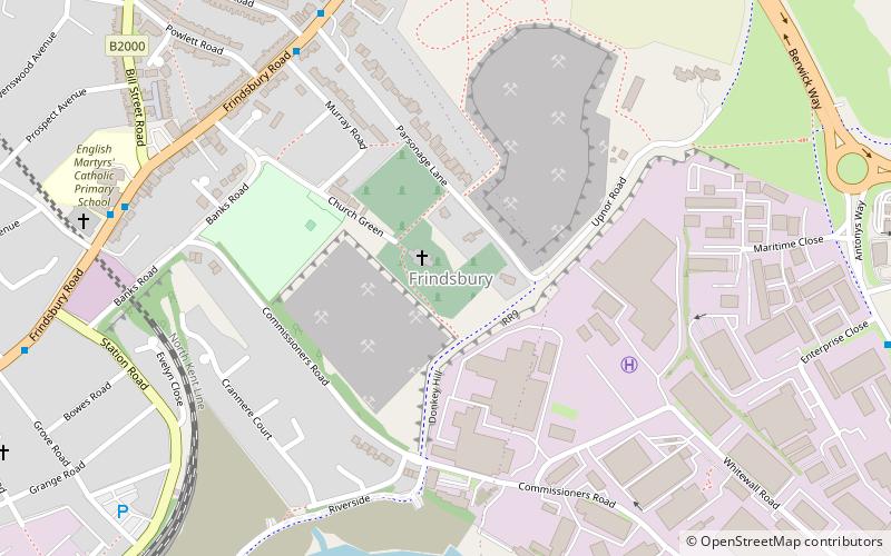
- Calculate routeFrindsbury Petrol Station 23 min walk
- Calculate routeCopperfield Crescent 24 min walk
- Calculate routeGravesend Road 25 min walk
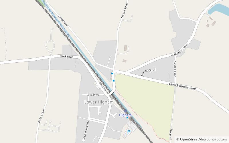
- Calculate routeHigham 28 min walk
Day trips


Frequently Asked Questions (FAQ)
How to get to Thames and Medway Canal by public transport?
The nearest stations to Thames and Medway Canal:
Bus
Train
Bus
- Dillywood Lane • Lines: 190 (17 min walk)
- Frindsbury Petrol Station • Lines: 190 (23 min walk)
Train
- Higham (28 min walk)