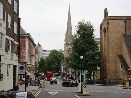
Kensington Square, London
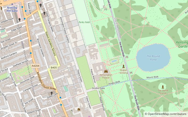
Map
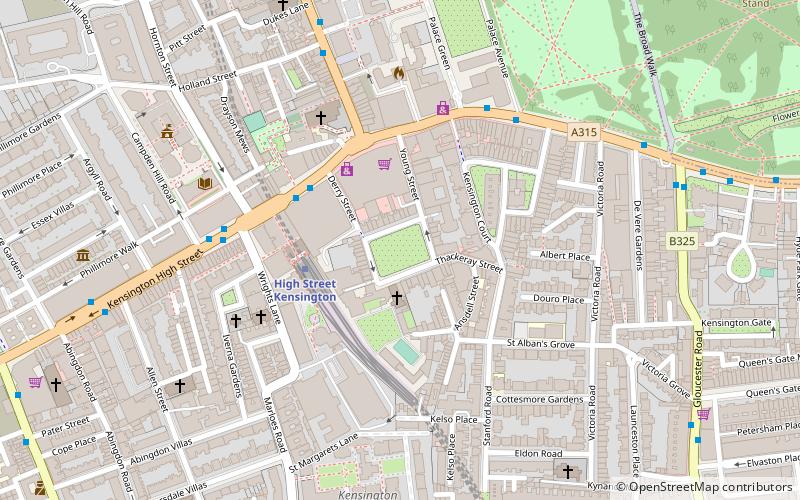
Map

Facts and practical information
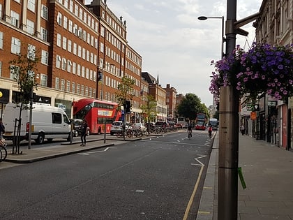
Kensington Square is a garden square in Kensington, London, W8. It was built from 1692 on land acquired for the purpose in 1685 and is the oldest such square in Kensington. The houses facing, Nos. 1–45, are listed Grade II for their architectural/historic merit. ()
Address
Kensington and Chelsea (Queen's Gate)London
ContactAdd
Social media
Add
Day trips
Kensington Square – popular in the area (distance from the attraction)
Nearby attractions include: Kensington Palace, Albert Memorial, Kensington High Street, Royal Albert Hall.
Frequently Asked Questions (FAQ)
Which popular attractions are close to Kensington Square?
Nearby attractions include Kensington, London (1 min walk), Kensington Roof Gardens, London (3 min walk), London/South Kensington-Chelsea, London (3 min walk), St Sarkis, London (5 min walk).
How to get to Kensington Square by public transport?
The nearest stations to Kensington Square:
Metro
Bus
Train
Metro
- High Street Kensington • Lines: Circle, District (3 min walk)
- Gloucester Road • Lines: Circle, District, Piccadilly (13 min walk)
Bus
- High Street Kensington Station • Lines: 23, 27, 28, 328, 49, 702, 9, N27, N28, N31, N9 (4 min walk)
- Kensington Palace • Lines: 23, 452, 49, 52, 70, 9, N9 (5 min walk)
Train
- London Paddington (33 min walk)

 Tube
Tube