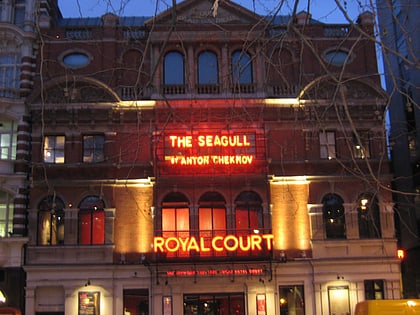
Chelsea Potter, London
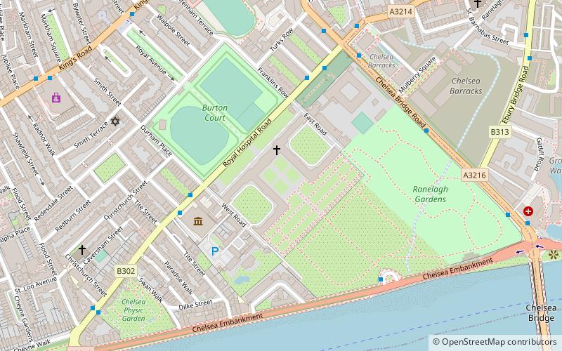
Map
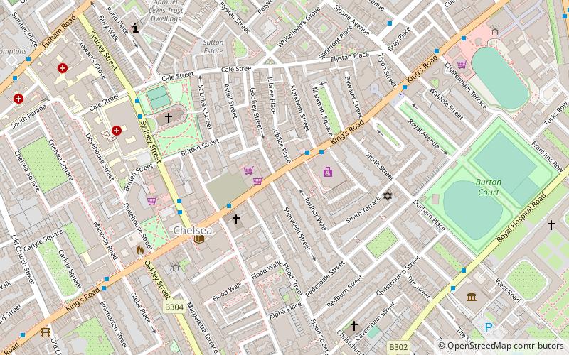
Map

Facts and practical information
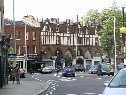
The Chelsea Potter is a pub at 119 King's Road, Chelsea, London. ()
Coordinates: 51°29'19"N, 0°9'57"W
Address
119 Kings Rd, SW3 4PLKensington and Chelsea (Chelsea)London
Contact
+44 20 7352 9479
Social media
Add
Day trips
Chelsea Potter – popular in the area (distance from the attraction)
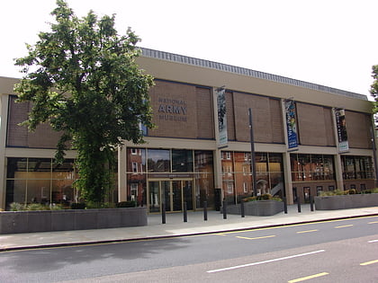
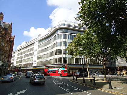
Nearby attractions include: Saatchi Gallery, King's Road, National Army Museum, Peter Jones.
Frequently Asked Questions (FAQ)
Which popular attractions are close to Chelsea Potter?
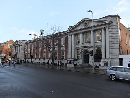
Nearby attractions include Markham Square, London (3 min walk), Chelsea Old Town Hall, London (4 min walk), King's Road, London (4 min walk), Royal Avenue, London (5 min walk).
How to get to Chelsea Potter by public transport?
The nearest stations to Chelsea Potter:
Bus
Ferry
Metro
Train
Bus
- Markham Street • Lines: 11, 19, 211, 22, 319, N11, N19, N22 (2 min walk)
- Chelsea Old Town Hall • Lines: 11, 19, 211, 22, 319, N11, N19, N22 (3 min walk)
Ferry
- Cadogan Pier • Lines: Rb6 (10 min walk)
- Battersea Power Station Pier • Lines: Rb1, Rb2, Rb6 (24 min walk)
Metro
- Sloane Square (13 min walk)
- South Kensington • Lines: Circle, District, Piccadilly (13 min walk)
Train
- London Victoria (26 min walk)
- Battersea Park (28 min walk)

 Tube
Tube
