Brandon Marsh nature reserve, Coventry
Gallery (3)
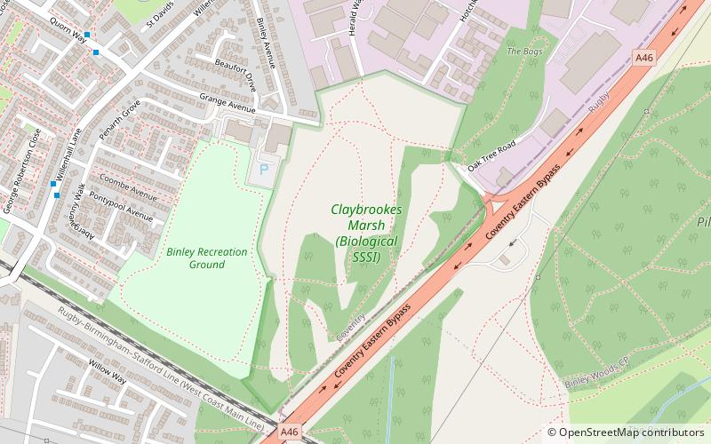
Map
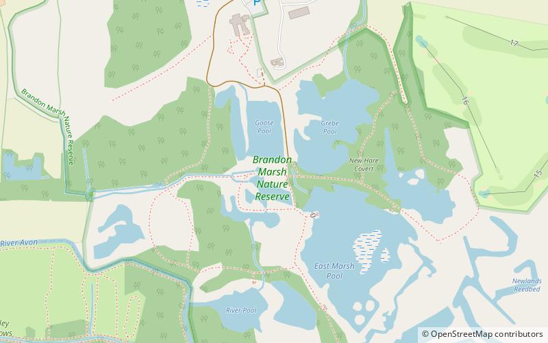
Map
Gallery
Facts and practical information
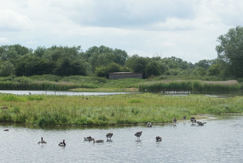
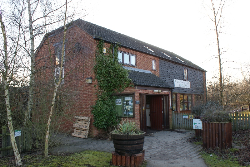
Brandon Marsh is a Site of Special Scientific Interest and nature reserve in Warwickshire, England. It is situated adjacent to the River Avon, near the village of Brandon, a few miles east of Coventry. ()
Area: 227.34 acres (0.3552 mi²)Elevation: 226 ft a.s.l.Coordinates: 52°22'35"N, 1°26'2"W
Address
Coventry
ContactAdd
Social media
Add
Getting there by public transportation
Public transportation stops near this location
- Bus
 Bus
Bus
- Calculate routePost Office 18 min walk
- Calculate routeRyton Blacksmiths Arms High Street 20 min walk
- Calculate routeRyton Leamington Road 25 min walk
- Calculate routeWillenhall Lane / Craigends Avenue 30 min walk
Day trips


Frequently Asked Questions (FAQ)
Which popular attractions are close to Brandon Marsh nature reserve?
Nearby attractions include Brandon Marsh, Coventry (1 min walk), Ryton-on-Dunsmore, Coventry (19 min walk).
How to get to Brandon Marsh nature reserve by public transport?
The nearest stations to Brandon Marsh nature reserve:
Bus
Bus
- Post Office • Lines: 25, 25A (18 min walk)
- Ryton Blacksmiths Arms High Street • Lines: 25, 25A (20 min walk)