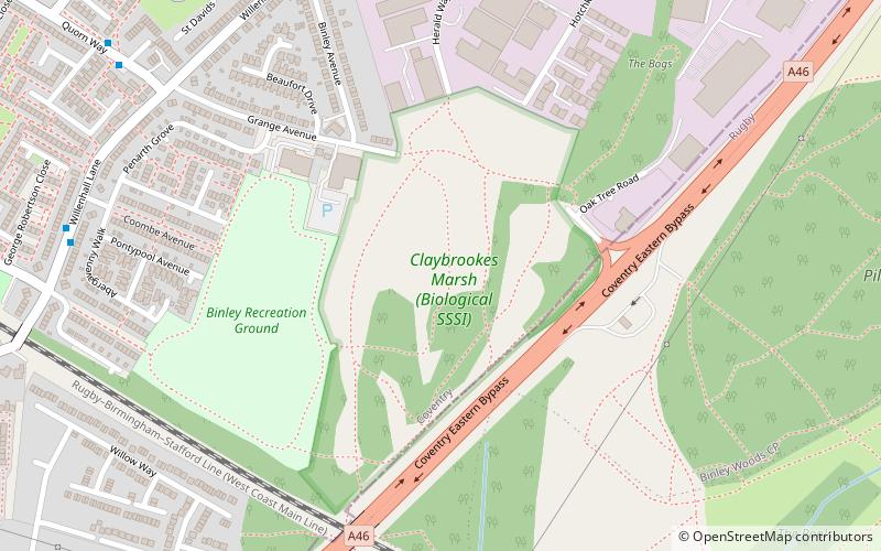
Herald Way Marsh, Coventry
Map
Facts and practical information
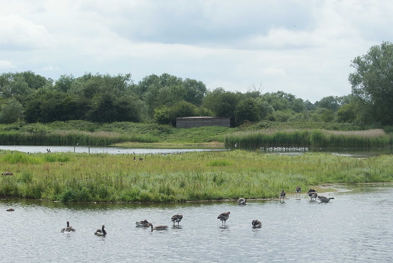
Herald Way Marsh is a 10.6 hectare biological site of Special Scientific Interest in Coventry in the West Midlands. The site was notified in 1988 under the Wildlife and Countryside Act 1981. It is also a Local Nature Reserve. ()
Elevation: 253 ft a.s.l.Coordinates: 52°23'21"N, 1°26'36"W
Address
South Coventry (Binley and Willenhall)Coventry
ContactAdd
Social media
Add
Getting there by public transportation
Public transportation stops near this location
- Bus
 Bus
Bus
- Calculate routeHerald Way / Hotchkiss Way 8 min walk
- Calculate routeWillenhall Lane / Craigends Avenue 8 min walk
- Calculate routeQuorn Way / William Mckee Close 9 min walk
- Calculate routeBredon Avenue / Ashby Close 10 min walk
Day trips


Frequently Asked Questions (FAQ)
How to get to Herald Way Marsh by public transport?
The nearest stations to Herald Way Marsh:
Bus
Bus
- Herald Way / Hotchkiss Way • Lines: 13A (8 min walk)
- Willenhall Lane / Craigends Avenue • Lines: 13, 13A, 60 (8 min walk)