Wenlock Basin, London
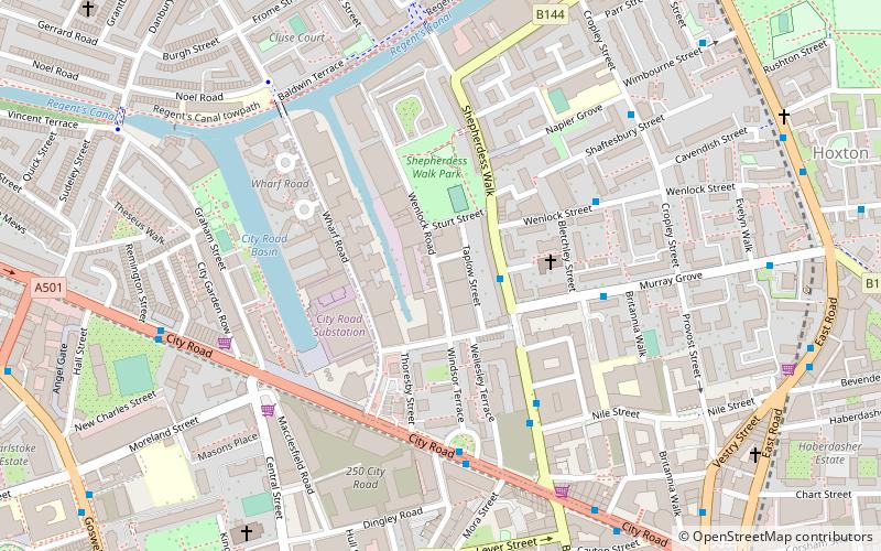
Map

Gallery

Facts and practical information
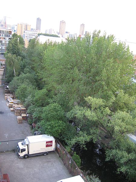
The Wenlock Basin, is a 320 metre long canal basin on the Regent's Canal, in the Hoxton area of the London Borough of Hackney. The City Road Basin lies just to the west of Wharf Road and is in the neighbouring London Borough of Islington. ()
Coordinates: 51°31'51"N, 0°5'38"W
Address
Hackney (Hoxton)London
ContactAdd
Social media
Add
Day trips
Wenlock Basin – popular in the area (distance from the attraction)
Nearby attractions include: O2 Academy Islington, Ironmonger Row Baths, Electrowerkz, Bunhill Fields.
Frequently Asked Questions (FAQ)
Which popular attractions are close to Wenlock Basin?
Nearby attractions include Victoria Miro Gallery, London (2 min walk), Parasol unit foundation for contemporary art, London (2 min walk), City Road Basin, London (4 min walk), Packington Estate, London (8 min walk).
How to get to Wenlock Basin by public transport?
The nearest stations to Wenlock Basin:
Bus
Metro
Train
Bus
- Murray Grove • Lines: 394 (2 min walk)
- Bletchley Street • Lines: 394 (4 min walk)
Metro
- Old Street • Lines: Northern (12 min walk)
- Angel • Lines: Northern (13 min walk)
Train
- Essex Road (18 min walk)
- Hoxton (20 min walk)

 Tube
Tube


