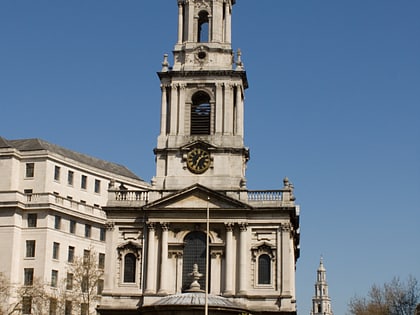
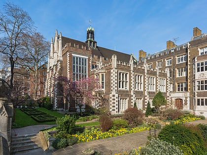
Aldwych, London
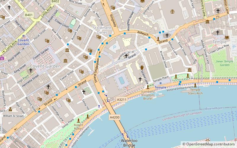
Map
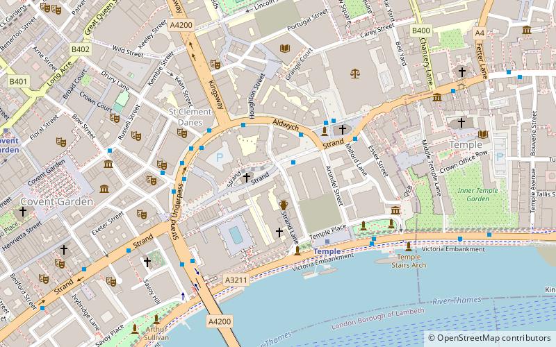
Map

Facts and practical information
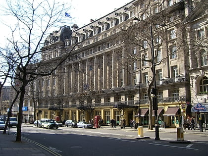
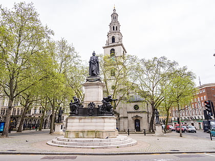
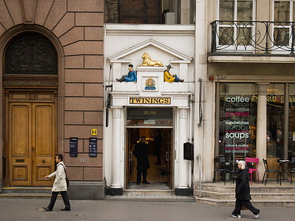
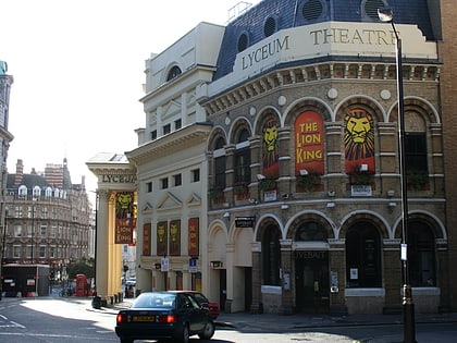
Aldwych is a street and the name of the area immediately surrounding it in central London, England, within the City of Westminster. The 450 metres street starts 600 metres east-northeast of Charing Cross, the conventional map centre-point of the city. ()
Address
City of Westminster (St. James's)London
ContactAdd
Social media
Add
Day trips
Aldwych – popular in the area (distance from the attraction)
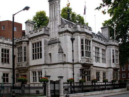
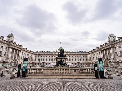
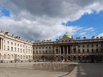
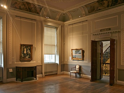
Nearby attractions include: Two Temple Place, Somerset House, Courtauld Institute of Art, Tavistock Street.
Frequently Asked Questions (FAQ)
Which popular attractions are close to Aldwych?
Nearby attractions include St Mary le Strand, London (2 min walk), King's College London Chapel, London (2 min walk), Courtauld Institute of Art, London (3 min walk), Statue of George III, London (3 min walk).
How to get to Aldwych by public transport?
The nearest stations to Aldwych:
Bus
Metro
Ferry
Train
Bus
- Aldwych / Australia House • Lines: 11, 15, 26, 341, 76, N11, N15, N199, N21, N26, N550, N551, N89 (2 min walk)
- Aldwych / Kingsway • Lines: 1, 168, 188, 59, 6, 68, 87, 9, 91, N1, N155, N171, N44, N68, N87, N9, N91 (3 min walk)
Metro
- Temple • Lines: Circle, District (3 min walk)
- Covent Garden • Lines: Piccadilly (10 min walk)
Ferry
- Festival Pier • Lines: Green Tour (10 min walk)
- Embankment • Lines: Green Tour, Rb1, Rb1X, Rb2, Rb6 (12 min walk)
Train
- Charing Cross (13 min walk)
- London Blackfriars (15 min walk)

 Tube
Tube