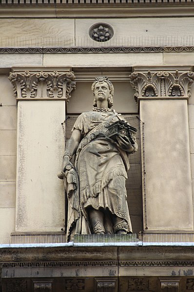
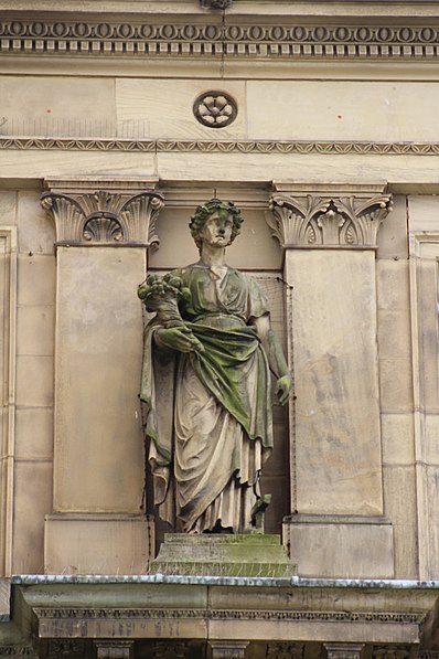
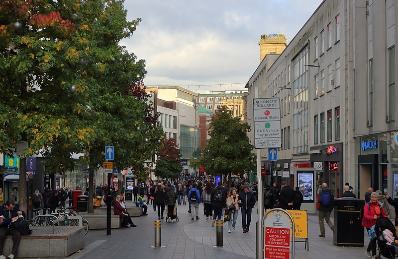
Municipal Buildings, Liverpool

Gallery (10)
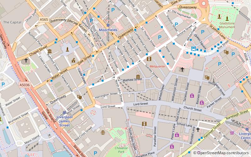
Map

Map

Gallery
Facts and practical information
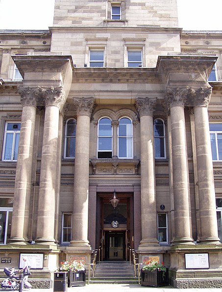
Municipal Buildings is former council facility that is being converted into a hotel, on Dale Street, Liverpool, England. It is a Grade II* listed building. ()
Coordinates: 53°24'31"N, 2°59'10"W
Address
Central LiverpoolLiverpool
ContactAdd
Social media
Add
Getting there by public transportation
Public transportation stops near this location
- Bus
- Tram
- Train
 Bus
Bus
- Calculate routeCrosshall St/stop Cx 1 min walk
- Calculate routeDale St/stop Dd 3 min walk
- Calculate routeQueen Square Bus Station 6 min walk
- Calculate routeMoorfields 4 min walk
- Calculate routeLiverpool James Street 9 min walk
- Calculate routeLiverpool Lime Street 10 min walk
- Calculate routeLiverpool Central 11 min walk
- Calculate routeWoodside Ferry 35 min walk
- Calculate routeShore Road 36 min walk
Day trips
Municipal Buildings – popular in the area (distance from the attraction)
Nearby attractions include: Church Street, Mathew Street, World Museum, Lord Street.


Frequently Asked Questions (FAQ)
Which popular attractions are close to Municipal Buildings?
Nearby attractions include Stanley Street, Liverpool (3 min walk), National Conservation Centre, Liverpool (3 min walk), Eleanor Rigby Statue, Liverpool (3 min walk), Prudential Assurance Building, Liverpool (3 min walk).
How to get to Municipal Buildings by public transport?
The nearest stations to Municipal Buildings:
Bus
Train
Tram
Bus
- Crosshall St/stop Cx • Lines: 18 (1 min walk)
- Dale St/stop Dd • Lines: 18 (3 min walk)
Train
- Moorfields (4 min walk)
- Liverpool James Street (9 min walk)
Tram
- Woodside Ferry • Lines: Wirral Tramway (35 min walk)
- Shore Road • Lines: Wirral Tramway (36 min walk)