St Anne and St Agnes, London
Map
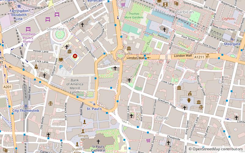
Map

Facts and practical information
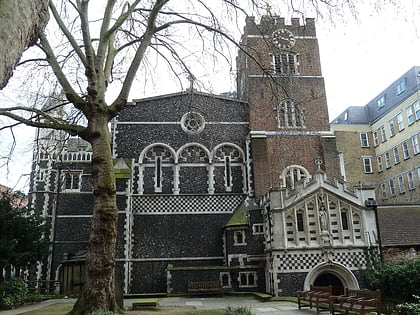
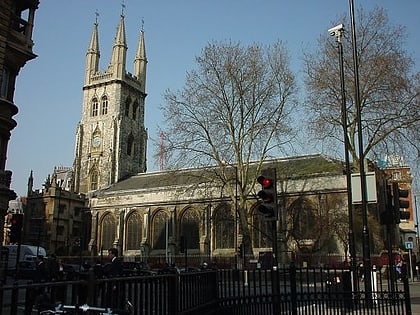
St Anne and St Agnes is a church located at Gresham Street in the City of London, near the Barbican. While St Anne's is an Anglican foundation, from 1966 to 2013 it was let to a congregation of the Lutheran Church in Great Britain. ()
Day trips
St Anne and St Agnes – popular in the area (distance from the attraction)
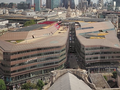
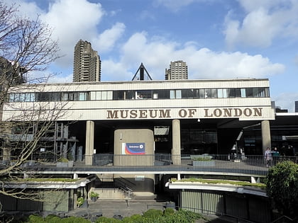
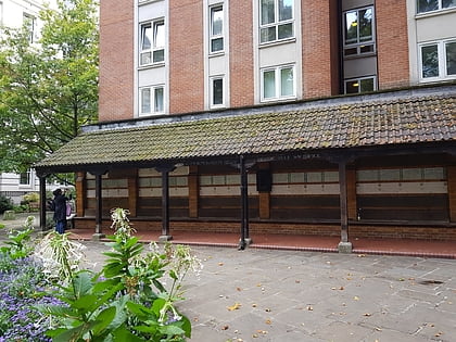
Nearby attractions include: St Paul's Cathedral, One New Change, Museum of London, Memorial to Heroic Self-Sacrifice.
Frequently Asked Questions (FAQ)
Which popular attractions are close to St Anne and St Agnes?
Nearby attractions include Postman's Park, London (1 min walk), Memorial to Heroic Self-Sacrifice, London (2 min walk), London Stone, London (2 min walk), Museum of London, London (3 min walk).
How to get to St Anne and St Agnes by public transport?
The nearest stations to St Anne and St Agnes:
Bus
Metro
Train
Ferry
Light rail
Bus
- Little Britain • Lines: 56 (3 min walk)
- King Edward Street • Lines: 25, 56, 8, N242, N25, N8 (3 min walk)
Metro
- St. Paul's • Lines: Central (4 min walk)
- Barbican • Lines: Circle, Hammersmith & City, Metropolitan (7 min walk)
Train
- City Thameslink (8 min walk)
- Bank (11 min walk)
Ferry
- Blackfriars Pier • Lines: Rb6 (12 min walk)
- Bankside Pier • Lines: Green Tour, Rb1, Rb1X, Rb2 (14 min walk)
Light rail
- Bank Platform 10 • Lines: B-L, B-Wa (13 min walk)
- Tower Gateway Platform 1 • Lines: Tg-B (27 min walk)

 Tube
Tube
