St Pancras Basin, London
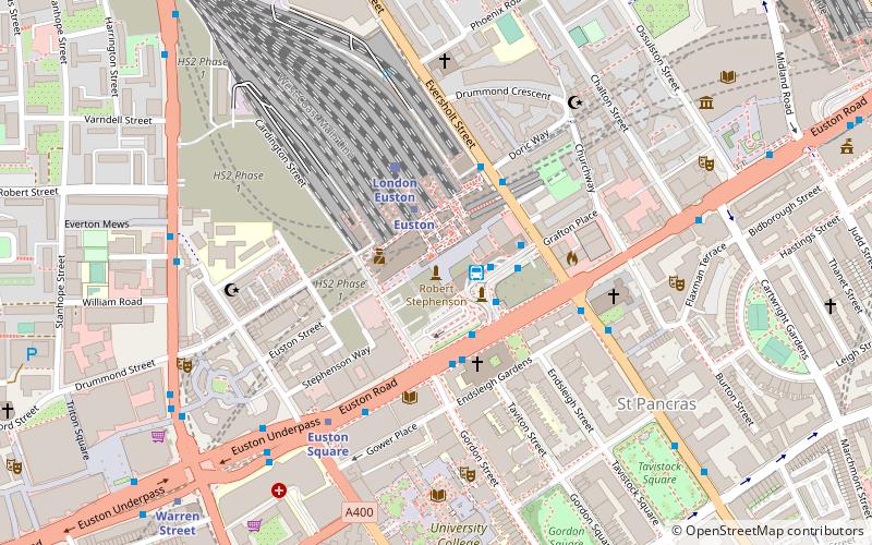
Map

Map

Facts and practical information
The St Pancras Basin, also known as St Pancras Yacht Basin, is part of the Regent's Canal in the London Borough of Camden, England, slightly to the west of St Pancras Lock. Formerly known as the Midland Railway Basin, the canal basin is owned by Canal & River Trust, and since 1958 has been home to the St Pancras Cruising Club. The basin is affected by the large-scale developments in progress, related to King's Cross Central. ()
Coordinates: 51°32'3"N, 0°7'45"W
Address
Camden (St. Pancras and Somers Town)London
ContactAdd
Social media
Add
Day trips
St Pancras Basin – popular in the area (distance from the attraction)
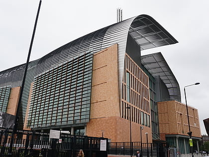
Nearby attractions include: Camden High Street, London Canal Museum, Francis Crick Institute, The Camden Head.
Frequently Asked Questions (FAQ)
Which popular attractions are close to St Pancras Basin?
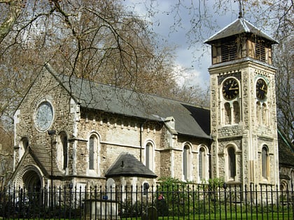
Nearby attractions include St Pancras Old Church, London (2 min walk), Camley Street Natural Park, London (3 min walk), Burdett-Coutts Memorial Sundial, London (3 min walk), St Pancras Lock, London (5 min walk).
How to get to St Pancras Basin by public transport?
The nearest stations to St Pancras Basin:
Bus
Train
Metro
Bus
- Chenies Place • Lines: 214, 46 (1 min walk)
- Royal College Street • Lines: 214, 46 (6 min walk)
Train
- London St. Pancras International (5 min walk)
- London King's Cross (8 min walk)
Metro
- King's Cross St Pancras • Lines: Circle, Hammersmith & City, Metropolitan, Northern, Piccadilly, Victoria (10 min walk)
- Mornington Crescent • Lines: Northern (10 min walk)

 Tube
Tube

