Belair Park, London
Map
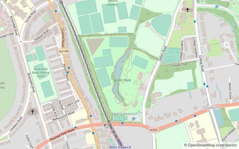
Map

Facts and practical information
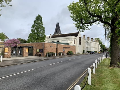
Belair Park is a park located in the West Dulwich part of the London Borough of Southwark, southeast London, England. The park grounds once belonged to Belair House, a country villa built in Adam style that is now a Grade II listed building. There are also two other Grade II listed structures within the park: the lodge and entrance gate, and an old stable building. ()
Elevation: 98 ft a.s.l.Coordinates: 51°26'36"N, 0°5'27"W
Address
Southwark (Dulwich)London
ContactAdd
Social media
Add
Day trips
Belair Park – popular in the area (distance from the attraction)
Nearby attractions include: Electric Brixton, Horniman Museum, Brockwell Lido, Dulwich Picture Gallery.
Frequently Asked Questions (FAQ)
Which popular attractions are close to Belair Park?
Nearby attractions include Dulwich Picture Gallery, London (8 min walk), College of God's Gift, London (9 min walk), Dulwich Park, London (14 min walk), London Borough of Southwark, London (15 min walk).
How to get to Belair Park by public transport?
The nearest stations to Belair Park:
Bus
Train
Bus
- West Dulwich Station • Lines: P13 (4 min walk)
- Thurlow Park Road / Croxted Road • Lines: 201, P13 (6 min walk)
Train
- West Dulwich (6 min walk)
- Tulse Hill (17 min walk)
 Tube
Tube
