Reddish Vale, Stockport
Map

Gallery

Facts and practical information
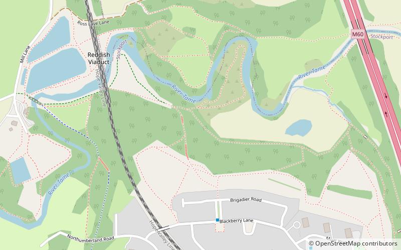
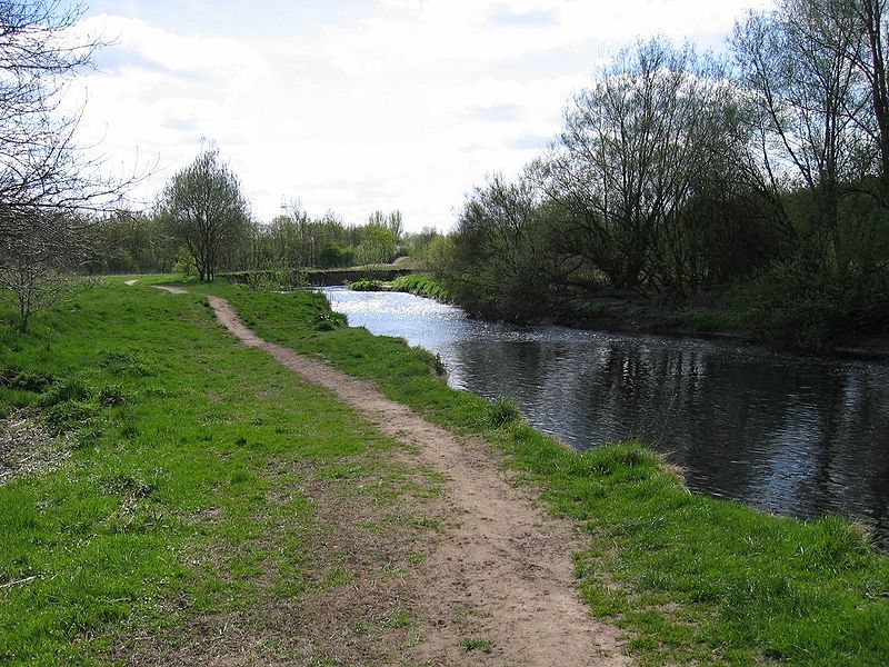
Reddish Vale is in the Tame Valley close to Reddish, Greater Manchester, England. The centre of the vale is around the bottom of Reddish Vale Road. Reddish Vale Country Park is a country park managed by Stockport Metropolitan Borough Council. It covers 161 hectares in all and comprises some of the traditional Reddish Vale area, Reddish Vale Farm and the grazing land and Woodhall Fields, about half a mile to the south. Part of it is a designated local nature reserve. ()
Elevation: 210 ft a.s.l.Coordinates: 53°26'14"N, 2°8'15"W
Address
Stockport (Binnington)Stockport
ContactAdd
Social media
Add
Day trips
Reddish Vale – popular in the area (distance from the attraction)
Nearby attractions include: St Elisabeth's Church, St Lawrence's Church, Broadstone Mill Limited, Bredbury.
Frequently Asked Questions (FAQ)
How to get to Reddish Vale by public transport?
The nearest stations to Reddish Vale:
Bus
Train
Bus
- Brinnington, Blackberry Lane / opposite Lapwing Lane • Lines: 325 (5 min walk)
Train
- Brinnington (10 min walk)
- Reddish South (23 min walk)


