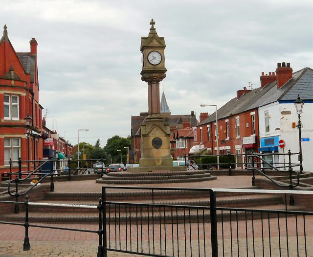
Reddish, Stockport
Map

Gallery

Facts and practical information
Reddish is an area in Metropolitan Borough of Stockport, Greater Manchester, England. 4.6 miles south-east of Manchester city centre. At the 2011 Census, the population was 28,052. Historically part of Lancashire, Reddish grew rapidly in the Industrial Revolution and still retains landmarks from that period, such as Houldsworth Mill, a former textile mill. ()
Area: 2.73 mi²Coordinates: 53°26'14"N, 2°9'36"W
Address
Stockport (Reddish South)Stockport
ContactAdd
Social media
Add
Day trips
Reddish – popular in the area (distance from the attraction)
Nearby attractions include: Reddish Vale, St Elisabeth's Church, Highfield Country Park, Broadstone Mill Limited.
Frequently Asked Questions (FAQ)
Which popular attractions are close to Reddish?
Nearby attractions include St Elisabeth's Church, Stockport (4 min walk), North Reddish, Stockport (5 min walk), Broadstone Mill Limited, Stockport (9 min walk), South Reddish, Stockport (13 min walk).
How to get to Reddish by public transport?
The nearest stations to Reddish:
Bus
Train
Bus
- Reddish, Broadstone Road / Houldsworth Square • Lines: 7, 7A, 7B (1 min walk)
- Reddish, Reddish Road / Houldworth Square • Lines: 203 (1 min walk)
Train
- Reddish South (3 min walk)
- Reddish North (23 min walk)


