Rodney Street, Liverpool
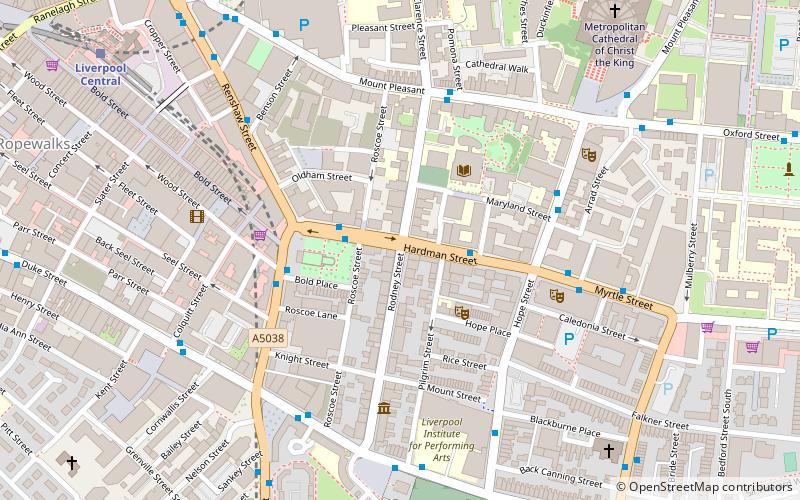
Map
Gallery
Facts and practical information
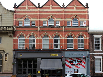
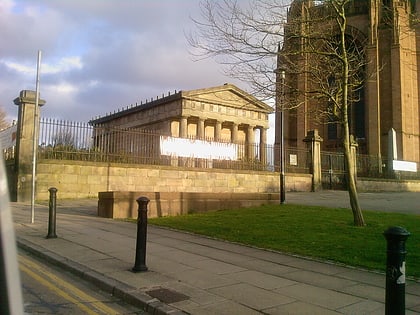
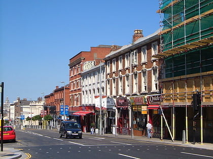
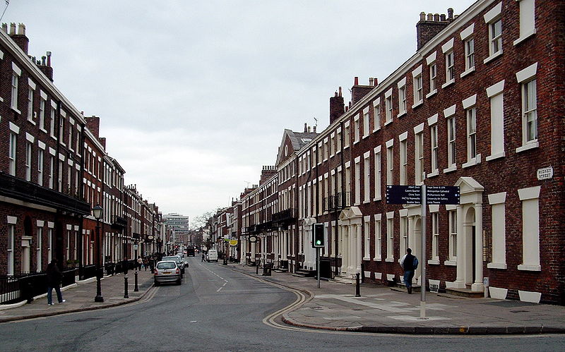
Rodney Street in Liverpool, England, is noted for the number of doctors who practise there and its Georgian architecture. It is sometimes referred to as the "Harley Street of the North". Together with Hope Street and Gambier Terrace it forms the Rodney Street conservation area. There are over 60 Grade II listed buildings on the street and one Grade II* former church. ()
Coordinates: 53°24'6"N, 2°58'24"W
Day trips
Rodney Street – popular in the area (distance from the attraction)
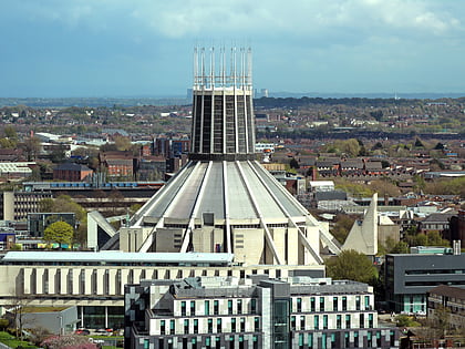
Nearby attractions include: Liverpool Cathedral, Liverpool Metropolitan Cathedral, Korova, The Black-E.
Frequently Asked Questions (FAQ)
Which popular attractions are close to Rodney Street?
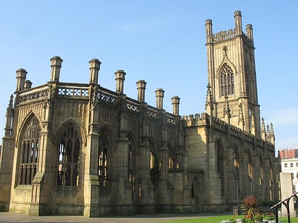
Nearby attractions include Church of St Luke, Liverpool (2 min walk), Unity Theatre, Liverpool (2 min walk), St Andrew's Church, Liverpool (3 min walk), Aldham Robarts Library, Liverpool (3 min walk).
How to get to Rodney Street by public transport?
The nearest stations to Rodney Street:
Train
Bus
Train
- Liverpool Central (9 min walk)
- Liverpool Lime Street (12 min walk)
Bus
- London Road Q • Lines: 18 (13 min walk)
- Pembroke Place Stop P • Lines: 18 (13 min walk)


