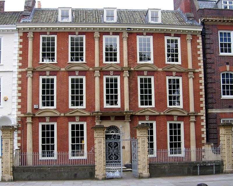
Sailors Refuge, Bristol

Gallery (2)
Map
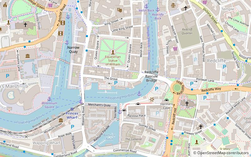
Map
Gallery
Facts and practical information
The Sailors Refuge is an historic house situated at 27–29 Queen Square, Bristol, England. ()
Coordinates: 51°26'58"N, 2°35'38"W
Address
CabotBristol
ContactAdd
Social media
Add
Getting there by public transportation
Public transportation stops near this location
- Bus
- Train
- Ferry
 Bus
Bus
- Calculate routeQueen Square 4 min walk
- Calculate routeRedcliff Hill 6 min walk
- Calculate routeBristol Bridge 8 min walk
- Calculate routePrince Street Bridge 4 min walk
- Calculate routeMillennium Square 6 min walk
- Calculate routeCity Centre 7 min walk
- Calculate routeHarbour Inlet 14 min walk
- Calculate routePrinces Wharf 5 min walk
- Calculate routeSS Great Britain 14 min walk
- Calculate routeBristol Temple Meads 15 min walk
- Calculate routeBedminster 16 min walk
Day trips
Sailors Refuge – popular in the area (distance from the attraction)
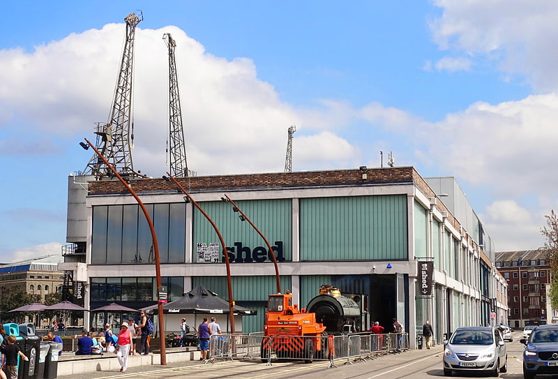
Nearby attractions include: M Shed, Arnolfini, Redcliffe Caves, The Old Duke.


Frequently Asked Questions (FAQ)
Which popular attractions are close to Sailors Refuge?
Nearby attractions include Equestrian statue of William III, Bristol (3 min walk), Redcliffe Caves, Bristol (3 min walk), Queen Square, Bristol (4 min walk), Prince Street Bridge, Bristol (4 min walk).
How to get to Sailors Refuge by public transport?
The nearest stations to Sailors Refuge:
Bus
Ferry
Train
Bus
- Queen Square • Lines: m2 (4 min walk)
- Redcliff Hill • Lines: m2 (6 min walk)
Ferry
- Prince Street Bridge • Lines: Hotwells-Centre (4 min walk)
- Millennium Square • Lines: Hotwells-Centre (6 min walk)
Train
- Princes Wharf (5 min walk)
- SS Great Britain (14 min walk)