South Manchester Synagogue, Manchester
Map

Map

Facts and practical information
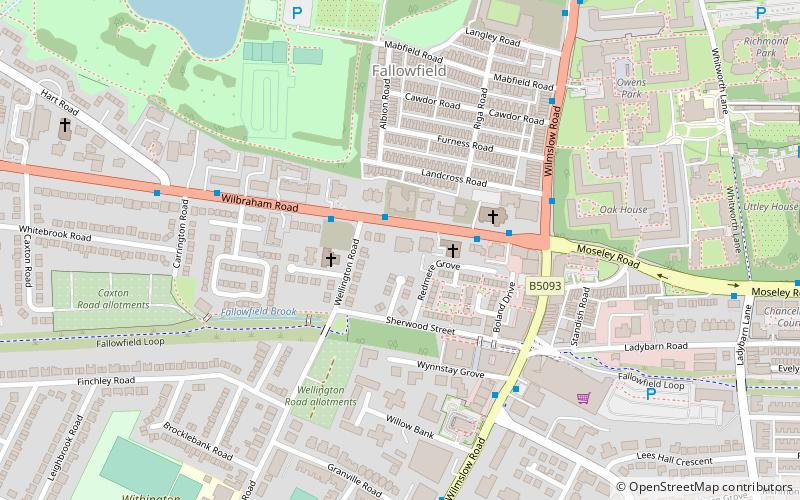
The name South Manchester Synagogue refers to both an Orthodox Jewish community in south Manchester, England and to the buildings that it occupies. In 2002, the community relocated from synagogue buildings in the Fallowfield district of Manchester to new premises in Bowdon, Altrincham, Greater Manchester. ()
Architectural style: Byzantine revivalCoordinates: 53°26'33"N, 2°13'18"W
Address
FallowfieldManchester
ContactAdd
Social media
Add
Day trips
South Manchester Synagogue – popular in the area (distance from the attraction)
Nearby attractions include: Whitworth Art Gallery, Platt Fields Park, Christ Church, Victoria Baths.
Frequently Asked Questions (FAQ)
Which popular attractions are close to South Manchester Synagogue?
Nearby attractions include Platt Fields Park, Manchester (9 min walk), Appleby Lodge, Manchester (12 min walk), Fallowfield Secret Garden Community Project, Manchester (13 min walk), Holy Trinity Platt Church, Manchester (14 min walk).
How to get to South Manchester Synagogue by public transport?
The nearest stations to South Manchester Synagogue:
Bus
Train
Tram
Bus
- Owens Park, Wilmslow Road / Owens Park • Lines: 42, 42B, 42C (4 min walk)
- Fallowfield, Wilmslow Road / near Granville Road • Lines: 42, 42B, 42C (6 min walk)
Train
- Mauldeth Road (21 min walk)
Tram
- Burton Road • Lines: EDid, Roch, Shaw (31 min walk)
- Withington • Lines: EDid, Roch, Shaw (34 min walk)

 Metrolink
 Metrolink / Rail


