South Parks Road, Oxford
Map
Gallery
Facts and practical information
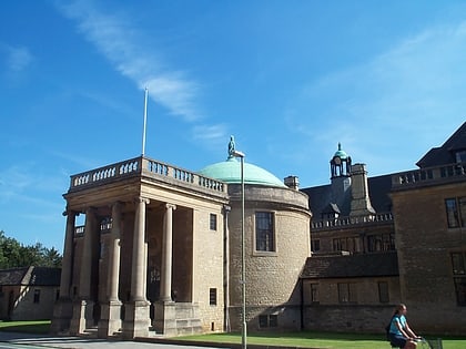
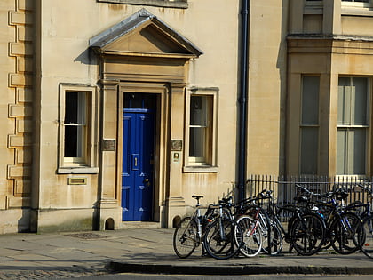
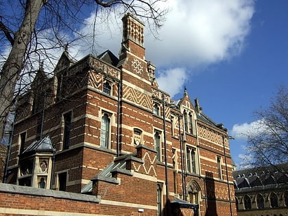
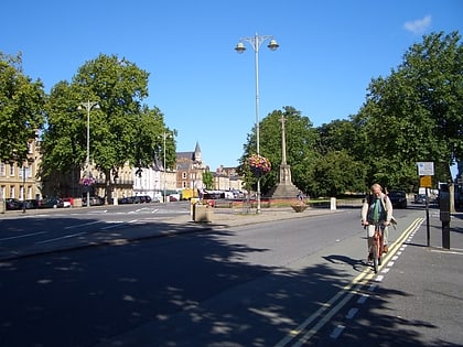
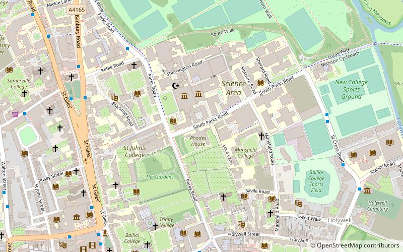
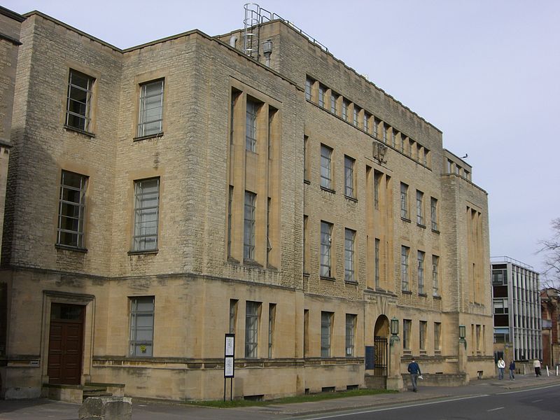
South Parks Road is a road in Oxford, England. It runs east–west past the main Science Area of the University of Oxford. Many of the university science departments are located nearby or face the road, including parts of the geography, zoology, chemistry, psychology and physiology departments. Also on the road is Rhodes House. ()
Coordinates: 51°45'28"N, 1°15'18"W
Day trips
South Parks Road – popular in the area (distance from the attraction)
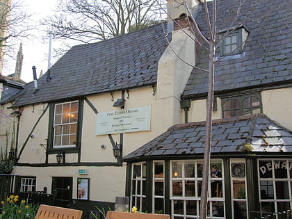
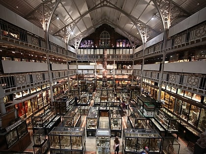
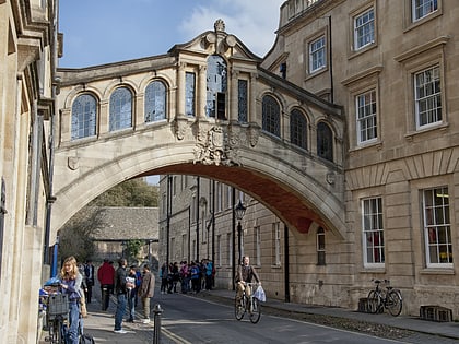
Nearby attractions include: Broad Street, Magdalen Street, Sheldonian Theatre, Oxford University Museum of Natural History.
Frequently Asked Questions (FAQ)
Which popular attractions are close to South Parks Road?
Nearby attractions include Rhodes House, Oxford (1 min walk), Reuben College, Oxford (1 min walk), Oxford University Museum of Natural History, Oxford (2 min walk), Pitt Rivers Museum, Oxford (2 min walk).
How to get to South Parks Road by public transport?
The nearest stations to South Parks Road:
Bus
Train
Bus
- St Giles • Lines: 853 (7 min walk)
- Magdalen Street • Lines: 14, 14A, 35 (8 min walk)
Train
- Oxford (19 min walk)
