St Olave's Church, Chester
Map
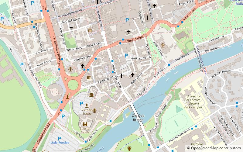
Map

Facts and practical information
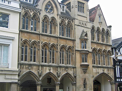
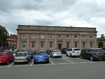
St Olave's Church is a redundant Anglican parish church located in Lower Bridge Street, Chester, Cheshire, England. The church is recorded in the National Heritage List for England as a designated Grade II listed building. ()
Architectural style: English gothicCoordinates: 53°11'14"N, 2°53'24"W
Address
Chester
ContactAdd
Social media
Add
Day trips
St Olave's Church – popular in the area (distance from the attraction)
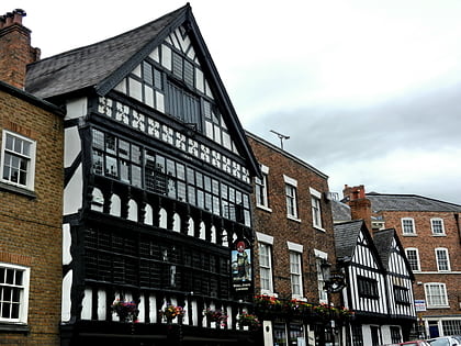
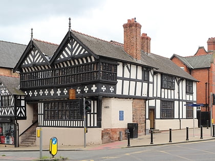
Nearby attractions include: Deva Victrix, Crypt Chambers, Bear and Billet, The Falcon.
Frequently Asked Questions (FAQ)
Which popular attractions are close to St Olave's Church?
Nearby attractions include Park House, Chester (1 min walk), Chester Toy and Doll Museum, Chester (2 min walk), Bridgegate, Chester (3 min walk), Shipgate House, Chester (3 min walk).
How to get to St Olave's Church by public transport?
The nearest stations to St Olave's Church:
Bus
Train
Bus
- Ye Olde Kings Head • Lines: 16 (1 min walk)
- Lower Bridge Street • Lines: 16 (2 min walk)
Train
- Chester (20 min walk)


