Stanegate, Hadrian's Wall
Map

Gallery

Facts and practical information
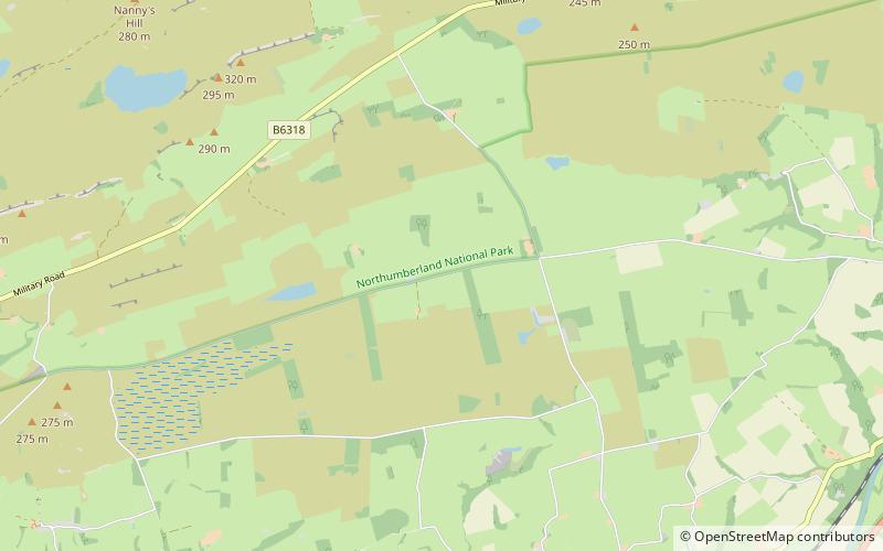
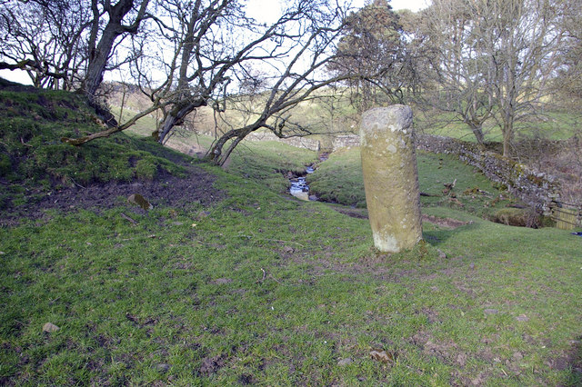
The Stanegate was an important Roman road built in what is now northern England. It linked many forts including two that guarded important river crossings: Corstopitum on the River Tyne in the east, and situated on Dere Street, and Luguvalium on the River Eden in the west. The Stanegate ran through the natural gap formed by the valleys of the River Tyne in Northumberland and the River Irthing in Cumbria. It predated Hadrian's Wall by several decades; the Wall would later follow a similar route, slightly to the north. ()
Address
Hadrian's Wall
ContactAdd
Social media
Add
Day trips
Stanegate – popular in the area (distance from the attraction)
Nearby attractions include: Old Haydon Bridge, Broomlee Lough, Milecastle 33, Housesteads Roman Fort.


