Stockport Viaduct, Stockport
Map

Map

Facts and practical information
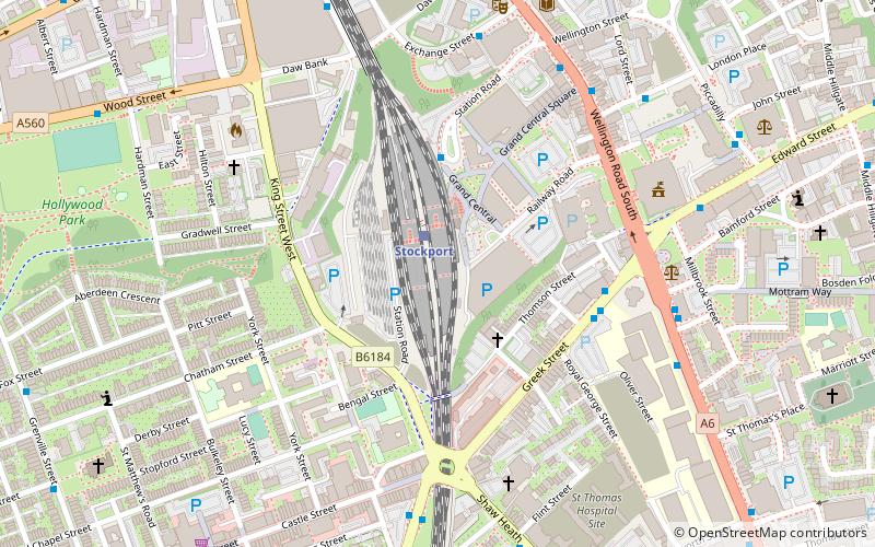
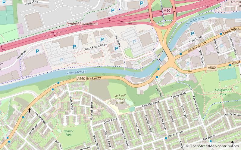
Stockport Viaduct carries the West Coast Main Line across the valley of the River Mersey in Stockport, Greater Manchester, England. It is one of the largest brick structures in the United Kingdom and a major structure of the early railway age. ()
Length: 1795 ftHeight: 111 ftCoordinates: 53°24'18"N, 2°9'46"W
Address
Stockport (Stockport Central)Stockport
ContactAdd
Social media
Add
Day trips
Stockport Viaduct – popular in the area (distance from the attraction)
Nearby attractions include: Merseyway Shopping Centre, Hat Works Museum, St Mary's Church, Edgeley Park.
Frequently Asked Questions (FAQ)
Which popular attractions are close to Stockport Viaduct?
Nearby attractions include Metropolitan Borough of Stockport, Stockport (4 min walk), Our Lady and the Apostles Church, Stockport (5 min walk), Stockport Town Hall, Stockport (5 min walk), Stockport College, Stockport (6 min walk).
How to get to Stockport Viaduct by public transport?
The nearest stations to Stockport Viaduct:
Train
Bus
Train
- Stockport (1 min walk)
- Davenport (28 min walk)
Bus
- Stockport, Greek Street / Stockport College • Lines: 11, 313, 323, 328, 368, 374 (4 min walk)
- Stockport, Wellington Road S / Grand Central • Lines: 11, 191, 192, 199, 313, 323, 358, 368, 374, 375, 378, 379, 383, 384, 391, 392, X92 (5 min walk)


