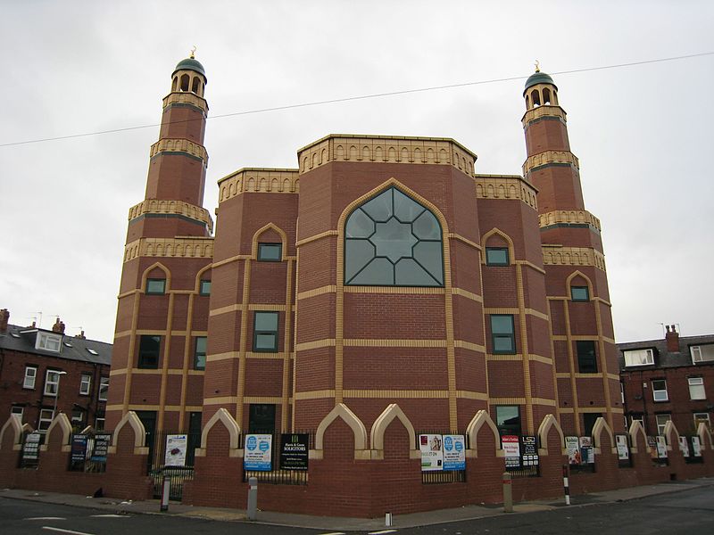
Stratford Street Mosque, Leeds

Gallery (2)
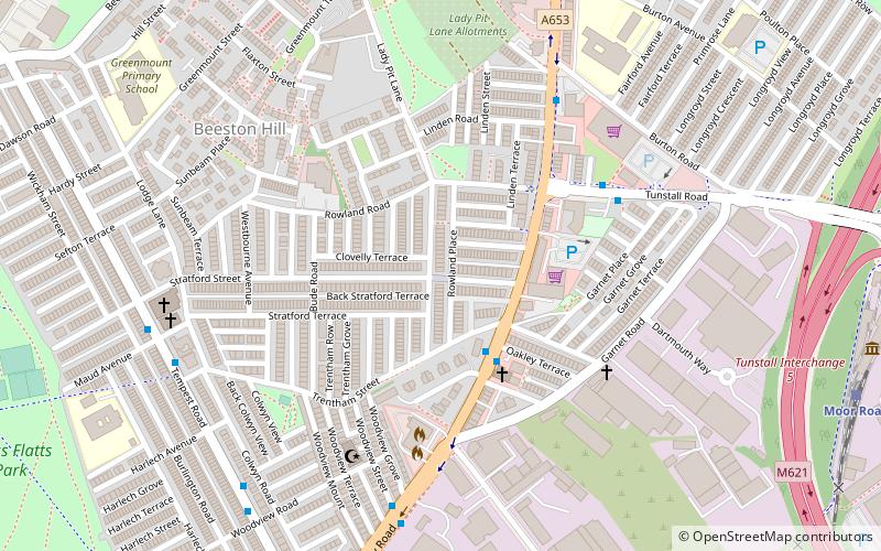
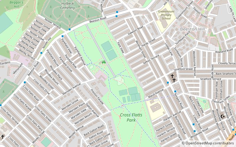
Map
Map
Gallery
Facts and practical information
Stratford Street Mosque is a mosque in Beeston, Leeds, England. ()
Coordinates: 53°46'31"N, 1°32'49"W
Address
City and Holbeck (Beeston Hill)Leeds
ContactAdd
Social media
Add
Getting there by public transportation
Public transportation stops near this location
- Bus
- Train
- Ferry
 Bus
Bus
- Calculate routeDewsbury Road Trentham Street 2 min walk
- Calculate routeGarnet Road 3 min walk
- Calculate routeMoor Road 9 min walk
- Calculate routePark Halt 27 min walk
- Calculate routeLeeds Water Taxi Dock 33 min walk
Day trips


Frequently Asked Questions (FAQ)
Which popular attractions are close to Stratford Street Mosque?
Nearby attractions include Northern Forest, Leeds (10 min walk), City Evangelical Church, Leeds (17 min walk), Beeston, Leeds (20 min walk).
How to get to Stratford Street Mosque by public transport?
The nearest stations to Stratford Street Mosque:
Bus
Train
Ferry
Bus
- Dewsbury Road Trentham Street • Lines: 2 (2 min walk)
- Garnet Road • Lines: 2 (3 min walk)
Train
- Moor Road (9 min walk)
- Park Halt (27 min walk)
Ferry
- Leeds Water Taxi Dock • Lines: Leeds Dock Water Taxi (33 min walk)