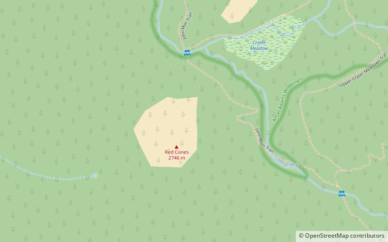
Red Cones, John Muir Wilderness

Gallery (1)
Map
Map
Facts and practical information
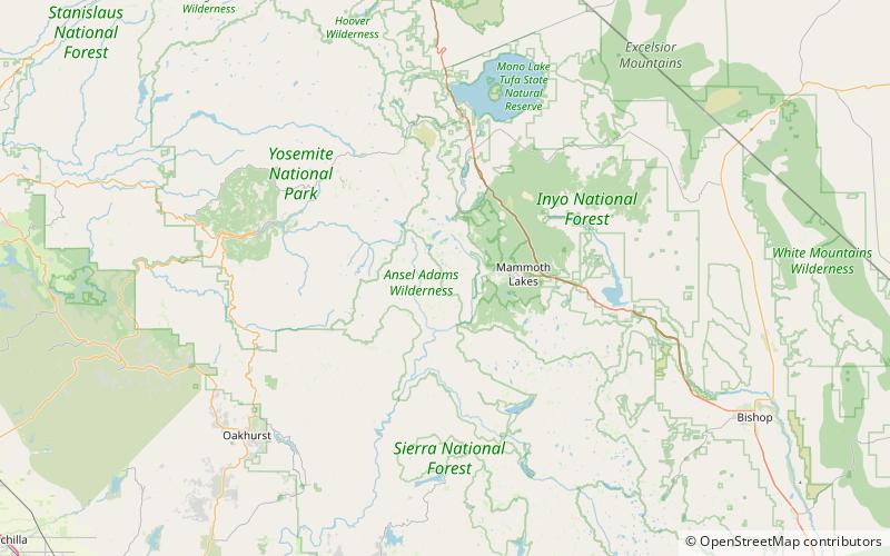
The Red Cones are a pair of cinder cones near Devils Postpile National Monument, in eastern Madera County of central California. They are within the eastern Sierra Nevada and Inyo National Forest. ()
Elevation: 8960 ftCoordinates: 37°35'19"N, 119°3'29"W
Address
John Muir Wilderness
ContactAdd
Social media
Add
Day trips