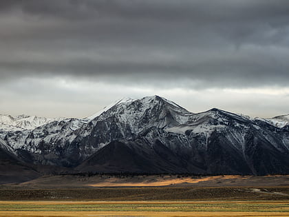
Minaret Summit, Inyo National Forest
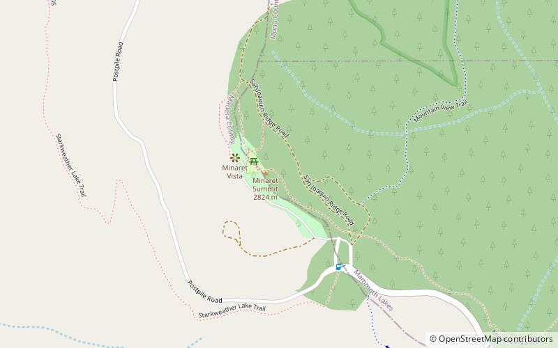
Map

Map

Facts and practical information
Minaret Summit is a mountain pass on Highway 203 in the central Sierra Nevada. The pass, lying on the Madera-Mono County border, is within the Mammoth Ranger District of the Inyo National Forest and located near Devils Postpile National Monument, Mammoth Lakes, and Mammoth Mountain. The elevation of the pass is about 9,265 ft. Highway 203 ends at Minaret Summit. The road continues, now called Reds Meadow Road, until its dead end at the Reds Meadow Pack Station near the Rainbow Falls trailhead. ()
Maximum elevation: 9265 ftCoordinates: 37°39'23"N, 119°3'36"W
Day trips
Minaret Summit – popular in the area (distance from the attraction)
Nearby attractions include: Mammoth Mountain, Rainbow Falls, Mammoth Mountain Ski Area, Twin Lakes.
Frequently Asked Questions (FAQ)
How to get to Minaret Summit by public transport?
The nearest stations to Minaret Summit:
Bus
Bus
- Upper Soda Springs Shuttle Stop • Lines: Reds Meadow Shuttle (22 min walk)
- Starkweather Lake Shuttle Stop • Lines: Reds Meadow Shuttle (24 min walk)


