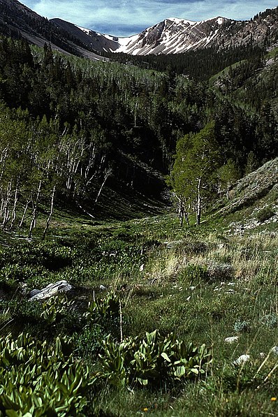
Schell Creek Range, High Schells Wilderness

Gallery (2)
Map
Map
Gallery
Facts and practical information
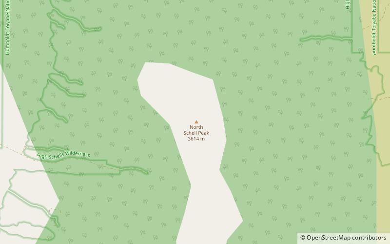
The Schell Creek Range is a linear mountain range in central White Pine County, in east-central Nevada. Its length is approximately 132 miles in a north-south direction. Most of the range is contained within the Humboldt-Toiyabe National Forest, with some of the range also included in the High Schells Wilderness. ()
Address
High Schells Wilderness
ContactAdd
Social media
Add
Day trips
Schell Creek Range – popular in the area (distance from the attraction)
Nearby attractions include: North Schell Peak.
