North Schell Peak, High Schells Wilderness

Gallery (1)
Map
Map
Facts and practical information
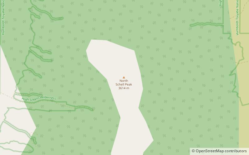
North Schell Peak is the highest mountain in the Schell Creek Range of White Pine County, Nevada, United States. It is the ninth-highest mountain in the state, and also ranks as the fifth-most topographically prominent peak in the state. The summit is 19 miles northeast of the community of Ely within the High Schells Wilderness of the Humboldt-Toiyabe National Forest. ()
Address
High Schells Wilderness
ContactAdd
Social media
Add
Day trips
North Schell Peak – popular in the area (distance from the attraction)
Nearby attractions include: Schell Creek Range.
