Matthes Crest, Yosemite National Park

Gallery (1)
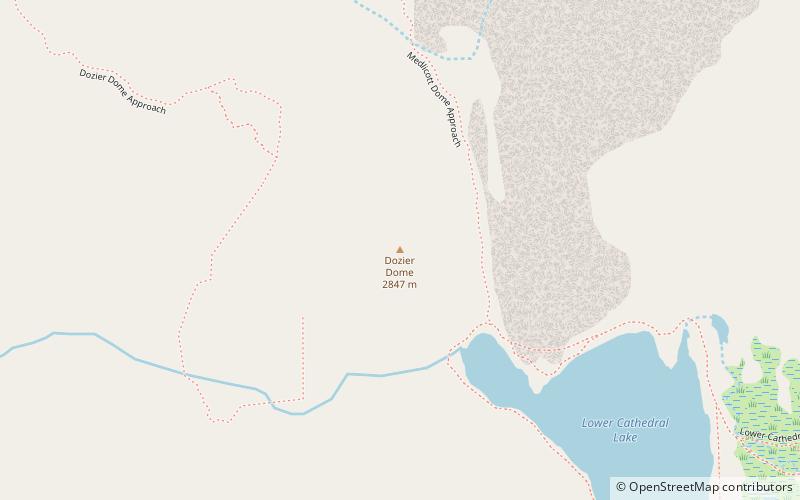
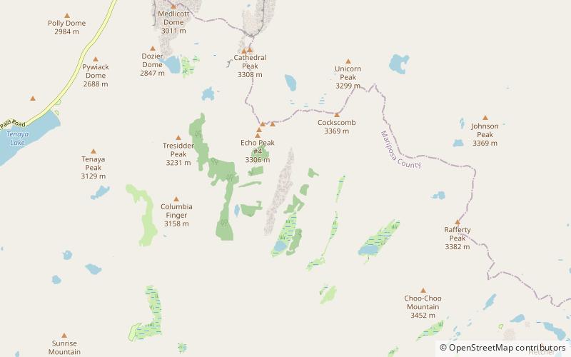
Map
Map
Facts and practical information
Matthes Crest is an approximately mile-long fin of rock with two summits separated by a deep notch. It is a part of the Cathedral Range, which is a mountain range in the south-central portion of Yosemite National Park. The range is part of the Sierra Nevada. ()
First ascent: 1931Elevation: 10923 ftProminence: 278 ftCoordinates: 37°49'24"N, 119°23'49"W
Address
Yosemite National Park
ContactAdd
Social media
Add
Day trips