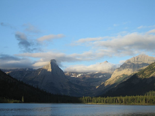
Kaina Lake, Glacier National Park
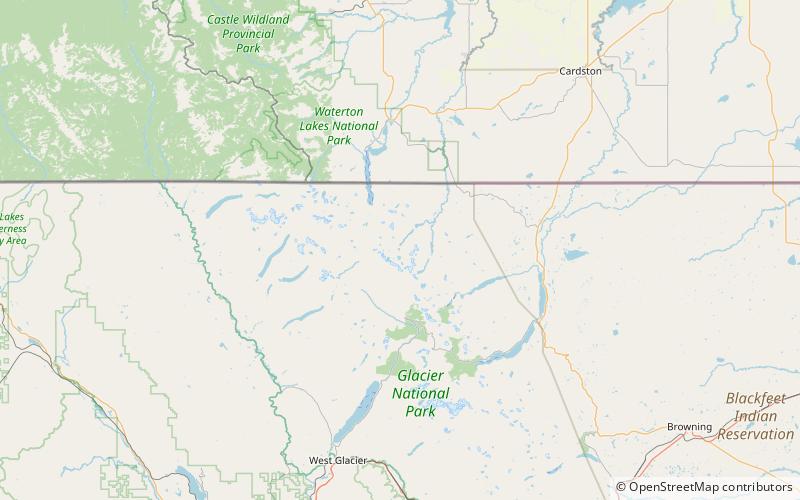
#156 among attractions in Glacier National Park
Facts and practical information
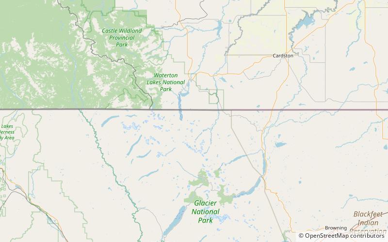
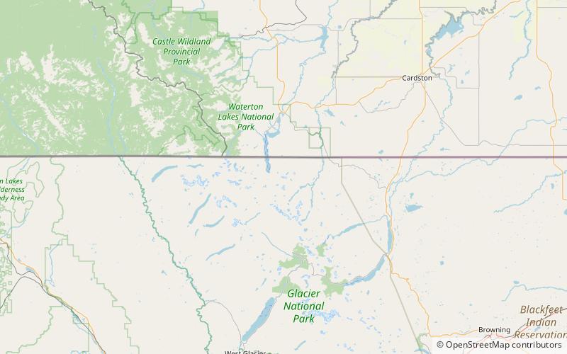
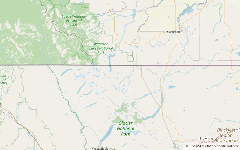
Kaina Lake is located in Glacier National Park, in the U. S. state of Montana. Kaina Lake is south of Kaina Mountain. ()
Glacier National Park United States
Kaina Lake – popular in the area (distance from the attraction)
Nearby attractions include: Cosley Lake, Glenns Lake, Stoney Indian Lake, Stoney Indian Peaks.
2.4 miSELakeCosley Lake, Glacier National Park
62 min walk • Cosley Lake is located in Glacier National Park, in the U. S. state of Montana. Cosley Lake is.35 miles northeast of Glenns Lake and between Bear Mountain to the north and Cosley Ridge to the south.
2.8 miSNature, Natural attraction, LakeGlenns Lake, Glacier National Park
72 min walk • Glenns Lake is located in Glacier National Park, in the U. S. state of Montana. Glenns Lake is a long narrow lake located between Cosley Ridge and Whitecrow Mountain in the northeastern region of Glacier National Park.
4.7 miSWNature, Natural attraction, LakeStoney Indian Lake, Glacier National Park
119 min walk • Stoney Indian Lake is located in Glacier National Park, in the U. S. state of Montana. Stoney Indian Lake is northeast of Wahcheechee Mountain and south of Stoney Indian Peaks.
3.7 miSWNature, Natural attraction, MountainStoney Indian Peaks, Waterton Biosphere Reserve
96 min walk • Stoney Indian Peaks are located in the Lewis Range, Glacier National Park in the U.S. state of Montana. Consisting of several summits, the mountain is in the northeastern region of Glacier National Park, less than 2 miles south of Mount Cleveland.
4.4 miSNature, Natural attraction, LakeMokowanis Lake, Glacier National Park
111 min walk • Mokowanis Lake is in Glacier National Park in the U. S. state of Montana,.80 miles north of Margaret Lake and just northeast of Pyramid Peak. Glenns Lake lies less than.50 miles north of Mokowanis Lake.
2.2 miSWNature, Natural attraction, MountainMount Cleveland, Waterton Biosphere Reserve
56 min walk • Mount Cleveland is the highest mountain in Glacier National Park, located in Montana, United States. It is also the highest point in the Lewis Range, which spans part of the northern portion of the park and extends into Canada.
2.2 miSWNature, Natural attraction, MountainLewis Range, Waterton Biosphere Reserve
57 min walk • The Lewis Range is a mountain range located in the Rocky Mountains of northern Montana, United States and extreme southern Alberta, Canada. It was formed as a result of the Lewis Overthrust, a geologic thrust fault resulted in the overlying of younger Cretaceous rocks by older Proterozoic rocks.
1.4 miSWMountainKaiser Point, Glacier National Park
36 min walk • Kaiser Point is located in the Lewis Range, Glacier National Park in the U.S. state of Montana. Maps indicate the peak is listed only by the elevation of 9,996 ft according to the Sea Level Datum of 1929, however the updated elevation by the currently implemented North American Vertical Datum of 1988 indicates the peak exceeds 10,000 ft.
1.9 miSWNature, Natural attraction, Natural featureWhitecrow Glacier, Waterton Biosphere Reserve
49 min walk • Whitecrow Glacier is in Glacier National Park, U.S. state of Montana. The glacier is situated immediately east of Mount Cleveland at an average elevation of 7,000 feet above sea level.
1.2 miNWNature, Natural attraction, LakeMiche Wabun Lake, Glacier National Park
32 min walk • Miche Wabun Lake is located in Glacier National Park, in the U. S. state of Montana. Runoff from the Miche Wabun Glacier and other icefields feed the lake after cascading over Miche Wabun Falls.
1.4 miWNature, Natural attraction, Natural featureMiche Wabun Glacier, Glacier National Park
35 min walk • Miche Wabun Glacier is a glacier remnant in the U.S. state of Montana in the northeastern region of Glacier National Park. The glacieret is situated in a cirque to the east of Goat Haunt Mountain.