Lewis Range, Waterton Biosphere Reserve
Map
Map

Facts and practical information
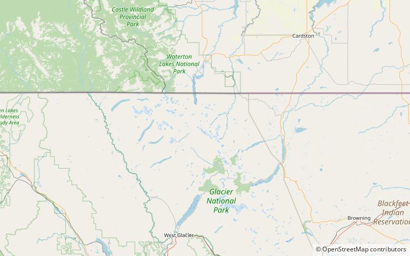
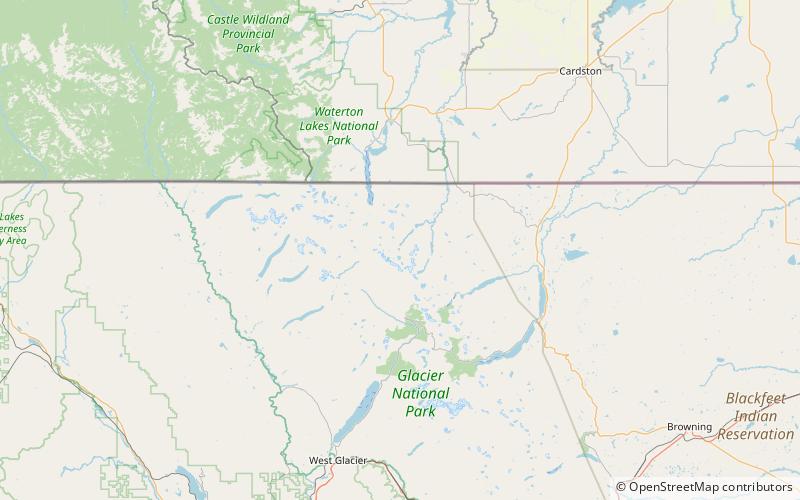
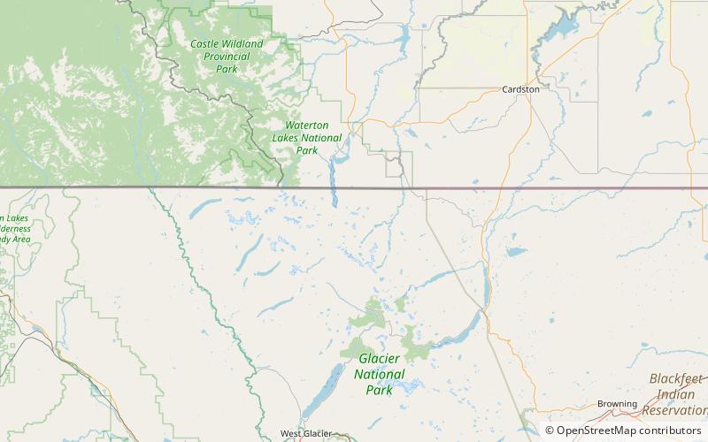
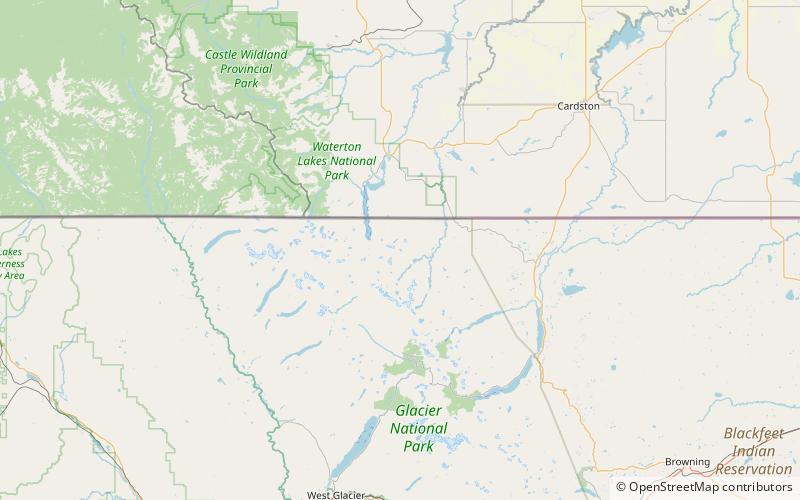
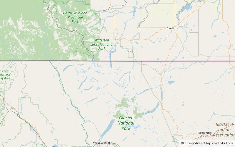
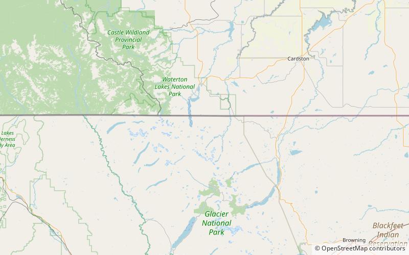
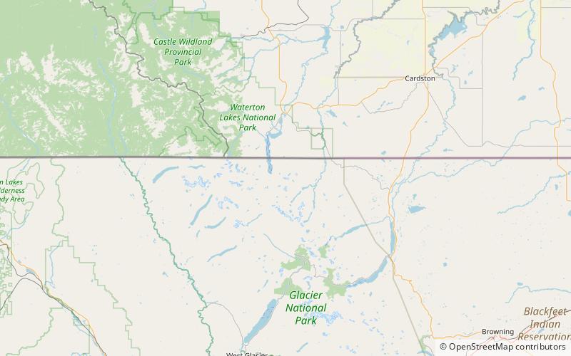
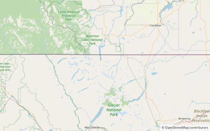
The Lewis Range is a mountain range located in the Rocky Mountains of northern Montana, United States and extreme southern Alberta, Canada. It was formed as a result of the Lewis Overthrust, a geologic thrust fault resulted in the overlying of younger Cretaceous rocks by older Proterozoic rocks. The range is located within Waterton Lakes National Park in Alberta, Canada and Glacier National Park and the Bob Marshall Wilderness Complex in Montana, United States. The highest peak is Mount Cleveland at 10,466 ft. ()
Address
Waterton Biosphere Reserve
ContactAdd
Social media
Add
Day trips
Lewis Range – popular in the area (distance from the attraction)
Nearby attractions include: Glenns Lake, Stoney Indian Lake, Stoney Indian Peaks, Atsina Lake.
Frequently Asked Questions (FAQ)
Which popular attractions are close to Lewis Range?
Nearby attractions include Mount Cleveland, Waterton Biosphere Reserve (1 min walk), Whitecrow Glacier, Waterton Biosphere Reserve (15 min walk), Kaiser Point, Glacier National Park (22 min walk).


